Premium Badge Download on the App Store Get it on Google Play Turn-by-turn Navigation Offline Maps Bike Type Optimized Routing Premium Maps Custom Bike Computer Export Routes Route Previews Fall Detection Premium Support

Cycling Route in 
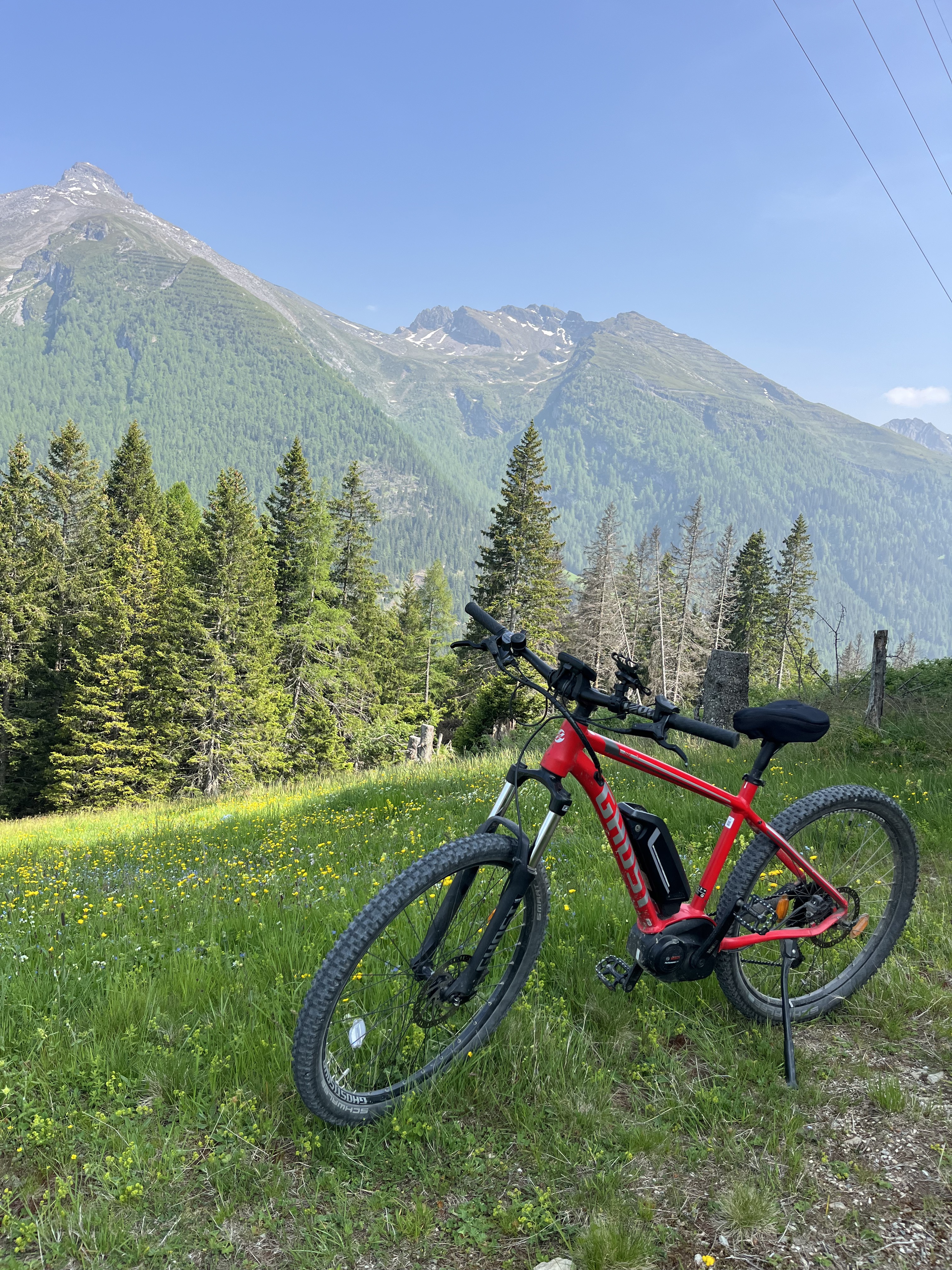
Gries am Brenner, Tyrol, Austria

Alpencross Mai 2010 Brennersee - Innsbruck

0
Open this route in the Bikemap app

Open this route in the Bikemap app

Open this route in Bikemap Web

Open this route in Bikemap Web

37 km
Distance
668 m
Ascent
1403 m
Descent
-:-- h
Duration
-- km/h
Avg. Speed
1321 m
Max. Elevation

About This Route

Routenplanung -Bozen nach Donauwörth

- Über Brenner, Seefeld in Tirol, Walchensee Starnberger See und Ammersee

- Tipps und Hinweise erwünscht -

<div style="position: relative;"> <div id="route-height-infos"> <div> <div style="position: relative; width: 270px; height: 120px;"> <div style="position: absolute; top: 6px; left: 0pt; width: 270px; height: 80px;" onmousemove="moveElevationPoint(event)" onmouseout="hideElevationPointAsync()"><img src="images/t.gif" alt="" width="270" height="80" /></div> </div> </div> </div> </div>

You will cycle on the following surfaces: Paved Gravel

Customize this cycling route with the Bikemap route planner.

Make it yours!

Did you know? You can use this route as a template in our cycling route planner if you don't wish to start from scratch. Customize it based on your needs to plan your perfect cycling tour.

Open it in the app