

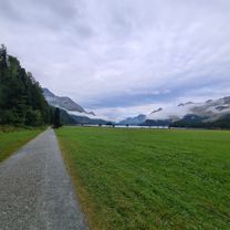
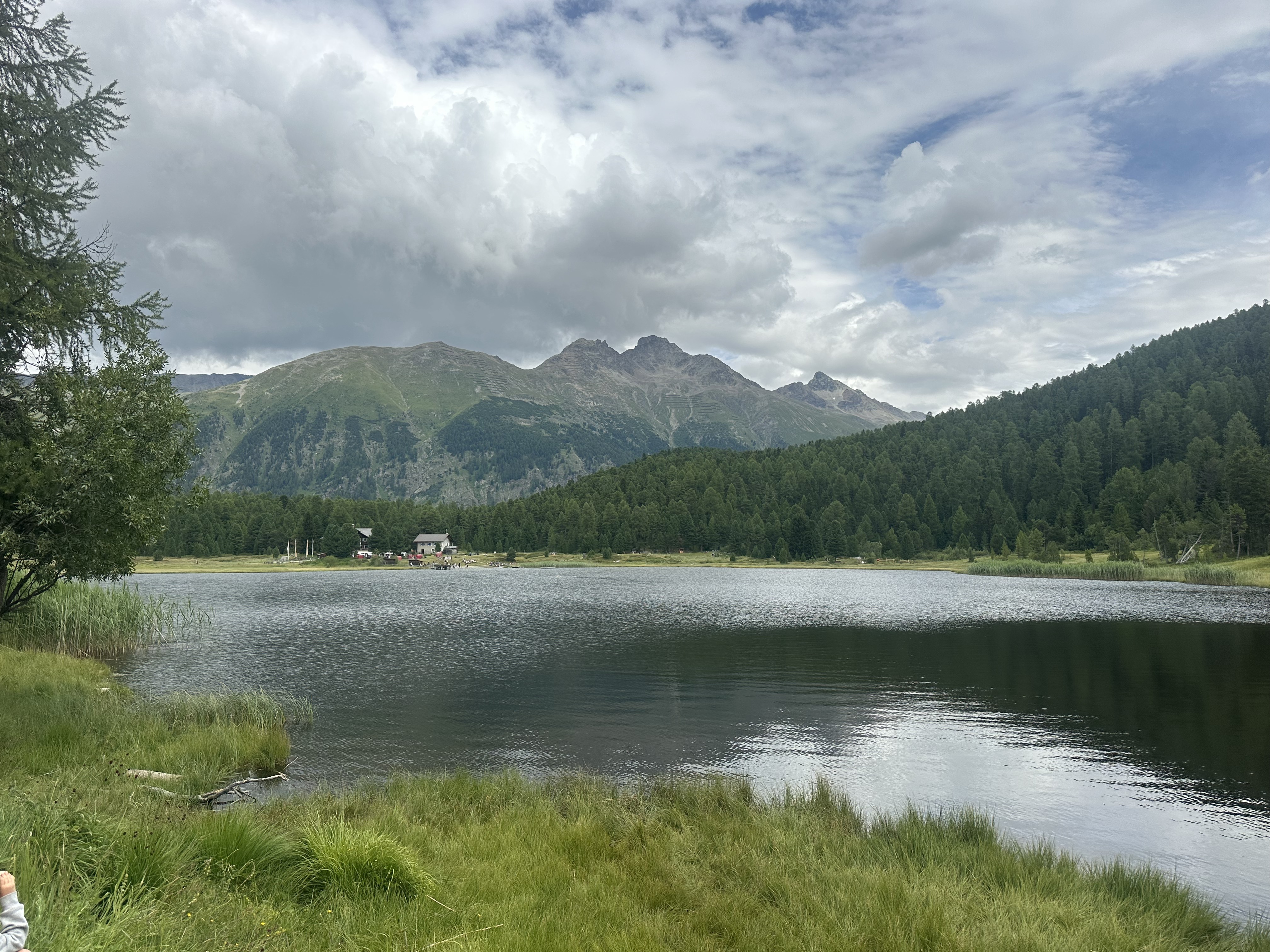
Overview
About this route
- -:--
- Duration
- 93.2 km
- Distance
- 473 m
- Ascent
- 1,222 m
- Descent
- ---
- Avg. speed
- ---
- Max. altitude

Part of
11_Schweiz
7 stages
Route quality
Waytypes & surfaces along the route
Waytypes
Track
38.9 km
(42 %)
Busy road
26.9 km
(29 %)
Surfaces
Paved
40.4 km
(43 %)
Unpaved
28.6 km
(31 %)
Asphalt
33.4 km
(36 %)
Gravel
11.4 km
(12 %)
Continue with Bikemap
Use, edit, or download this cycling route
You would like to ride Engadin_Celenna(Ch)-Pfunds(A) or customize it for your own trip? Here is what you can do with this Bikemap route:
Free features
- Save this route as favorite or in collections
- Copy & plan your own version of this route
- Split it into stages to create a multi-day tour
- Sync your route with Garmin or Wahoo
Premium features
Free trial for 3 days, or one-time payment. More about Bikemap Premium.
- Navigate this route on iOS & Android
- Export a GPX / KML file of this route
- Create your custom printout (try it for free)
- Download this route for offline navigation
Discover more Premium features.
Get Bikemap PremiumFrom our community
Other popular routes starting in Celerina
 Suvretta-Pass
- Distance
- 34.4 km
- Ascent
- 1,118 m
- Descent
- 1,115 m
- Location
- Celerina, Grisons, Switzerland
 Celerina - Tirano
- Distance
- 51.8 km
- Ascent
- 616 m
- Descent
- 1,898 m
- Location
- Celerina, Grisons, Switzerland
 Val Roseg a Morteratsch
- Distance
- 35.9 km
- Ascent
- 466 m
- Descent
- 464 m
- Location
- Celerina, Grisons, Switzerland
 Via Suot Crasta 21, Celerina/Schlarigna nach Via Laghetto, Colico
- Distance
- 93.9 km
- Ascent
- 1,866 m
- Descent
- 3,433 m
- Location
- Celerina, Grisons, Switzerland
 Hauptstrasse, Celerina/Schlarigna nach Via Surpunt, St. Moritz
- Distance
- 6.2 km
- Ascent
- 200 m
- Descent
- 152 m
- Location
- Celerina, Grisons, Switzerland
 Schweiz-Rundfahrt 2022
- Distance
- 141.2 km
- Ascent
- 2,483 m
- Descent
- 2,473 m
- Location
- Celerina, Grisons, Switzerland
 Engadin-Celerina-Bike-Wochenende
- Distance
- 122.7 km
- Ascent
- 4,147 m
- Descent
- 4,147 m
- Location
- Celerina, Grisons, Switzerland
 Celerina - Marguns - Corviglia - Lej Marsch - Lej da Staz - Celerina
- Distance
- 26.9 km
- Ascent
- 937 m
- Descent
- 937 m
- Location
- Celerina, Grisons, Switzerland
Open it in the app