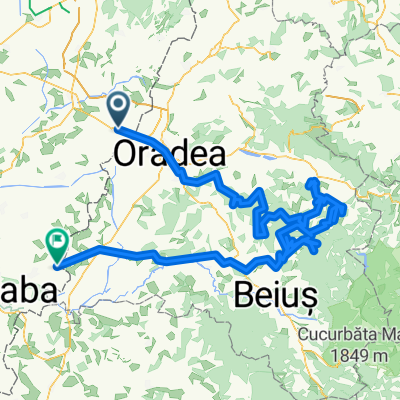
Biharkeresztes - Nagyvárad - Hegyközipályi - Nv. - Bk.
- 57.1 km
- 213 m
- 215 m
- Biharkeresztes, Hajdú-Bihar, Hungary
A cycling route starting in Biharkeresztes, Hajdú-Bihar, Hungary.
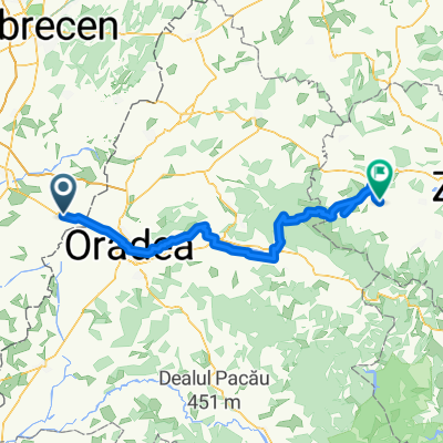
Overview
FIRST DAY
LAST DAY
created this 8 years ago
Continue with Bikemap
You would like to ride RUMUNSKO-APUSENI 2017 or customize it for your own trip? Here is what you can do with this Bikemap route:
Free trial for 3 days, or one-time payment. More about Bikemap Premium.
Discover more Premium features.
Get Bikemap PremiumFrom our community
Open it in the app