

Aveyron, tour de 5 jours
A cycling route starting in Decazeville, Occitanie, France.
Overview
About this route
Balade Est-Ouest en Aveyron, 22-26/07/2017
- -:--
- Duration
- 301.3 km
- Distance
- 2,043 m
- Ascent
- 2,183 m
- Descent
- ---
- Avg. speed
- ---
- Max. altitude

Route quality
Waytypes & surfaces along the route
Waytypes
Busy road
146.9 km
(49 %)
Road
86.9 km
(29 %)
Surfaces
Paved
182.5 km
(61 %)
Unpaved
23.2 km
(8 %)
Asphalt
182.4 km
(61 %)
Gravel
11.6 km
(4 %)
Route highlights
Points of interest along the route
Point of interest after 72 km
Bivouac 22/07
Point of interest after 129.1 km
Bivouac 23/07
Point of interest after 187.5 km
Camping 24/07
Point of interest after 255.6 km
Bivouac 25/07 dans le jardin de l'hôtel
Continue with Bikemap
Use, edit, or download this cycling route
You would like to ride Aveyron, tour de 5 jours or customize it for your own trip? Here is what you can do with this Bikemap route:
Free features
- Save this route as favorite or in collections
- Copy & plan your own version of this route
- Split it into stages to create a multi-day tour
- Sync your route with Garmin or Wahoo
Premium features
Free trial for 3 days, or one-time payment. More about Bikemap Premium.
- Navigate this route on iOS & Android
- Export a GPX / KML file of this route
- Create your custom printout (try it for free)
- Download this route for offline navigation
Discover more Premium features.
Get Bikemap PremiumFrom our community
Other popular routes starting in Decazeville
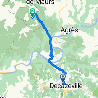
 f_via_podiensis_011
- Distance
- 29.3 km
- Ascent
- 598 m
- Descent
- 610 m
- Location
- Decazeville, Occitanie, France
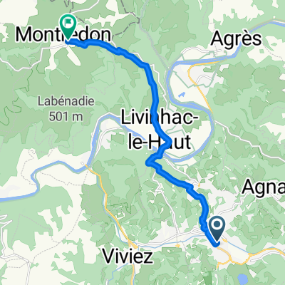 Decazeville-Montredon
- Distance
- 10.8 km
- Ascent
- 432 m
- Descent
- 245 m
- Location
- Decazeville, Occitanie, France
 Aveyron, tour de 5 jours
- Distance
- 301.3 km
- Ascent
- 2,043 m
- Descent
- 2,183 m
- Location
- Decazeville, Occitanie, France
 De 14 Avenue Alexandre Bos, Decazeville à Le Bourg, Béduer
- Distance
- 47.6 km
- Ascent
- 923 m
- Descent
- 847 m
- Location
- Decazeville, Occitanie, France
 TDF 11. Etappe Decazeville - Nasbinals (Monts d' Aubrac)
- Distance
- 156.5 km
- Ascent
- 3,138 m
- Descent
- 2,058 m
- Location
- Decazeville, Occitanie, France
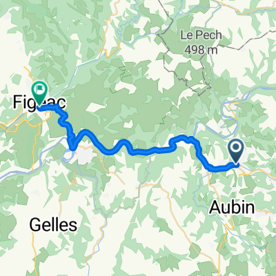
 figeac
- Distance
- 36.5 km
- Ascent
- 642 m
- Descent
- 655 m
- Location
- Decazeville, Occitanie, France
 Jakobsweg Etappe8a Decazeville - Figeac entlang des Lot-Tals (flacher)
- Distance
- 26.6 km
- Ascent
- 269 m
- Descent
- 278 m
- Location
- Decazeville, Occitanie, France
 D 840, Decazeville nach Rue de la Carrière du Fabre, Montmurat
- Distance
- 12.9 km
- Ascent
- 344 m
- Descent
- 213 m
- Location
- Decazeville, Occitanie, France
Open it in the app