

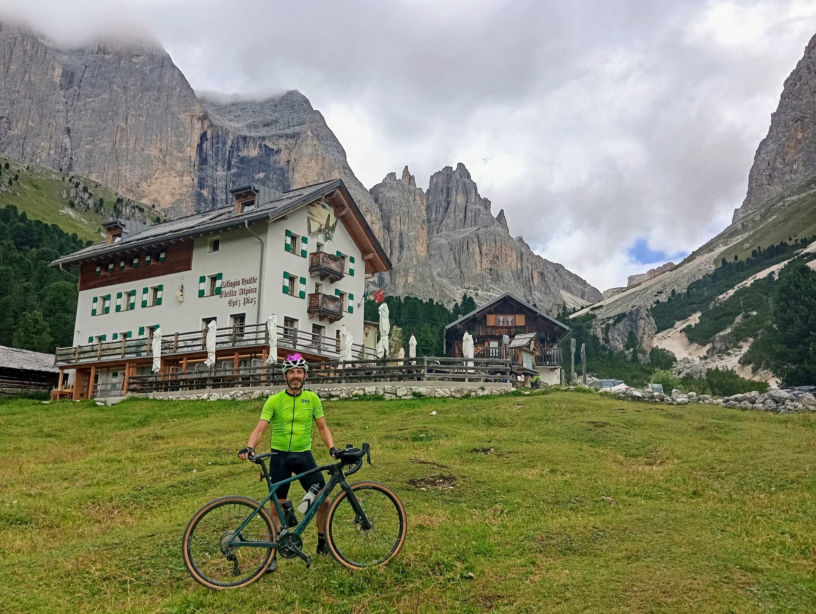
Gardeccia
A cycling route starting in Mazzin, Trentino-Alto Adige, Italy.
Overview
About this route
Gardeccia
- -:--
- Duration
- 6.3 km
- Distance
- 616 m
- Ascent
- 0 m
- Descent
- ---
- Avg. speed
- ---
- Max. altitude
Route quality
Waytypes & surfaces along the route
Waytypes
Quiet road
4.4 km
(70 %)
Road
1.7 km
(27 %)
Surfaces
Paved
1.7 km
(27 %)
Asphalt
1.7 km
(27 %)
Undefined
4.6 km
(73 %)
Continue with Bikemap
Use, edit, or download this cycling route
You would like to ride Gardeccia or customize it for your own trip? Here is what you can do with this Bikemap route:
Free features
- Save this route as favorite or in collections
- Copy & plan your own version of this route
- Sync your route with Garmin or Wahoo
Premium features
Free trial for 3 days, or one-time payment. More about Bikemap Premium.
- Navigate this route on iOS & Android
- Export a GPX / KML file of this route
- Create your custom printout (try it for free)
- Download this route for offline navigation
Discover more Premium features.
Get Bikemap PremiumFrom our community
Other popular routes starting in Mazzin
 Alpy, den 2 (Pampeago - Costalunga)
- Distance
- 93.8 km
- Ascent
- 2,040 m
- Descent
- 2,040 m
- Location
- Mazzin, Trentino-Alto Adige, Italy
 Transalp 2017 Etappe 3
- Distance
- 86.6 km
- Ascent
- 1,827 m
- Descent
- 3,259 m
- Location
- Mazzin, Trentino-Alto Adige, Italy
 Transalp 2011 Tag 5
- Distance
- 83.1 km
- Ascent
- 1,844 m
- Descent
- 3,175 m
- Location
- Mazzin, Trentino-Alto Adige, Italy
 Mazzin - Ex Rifugio Catinaccio
- Distance
- 19.7 km
- Ascent
- 788 m
- Descent
- 792 m
- Location
- Mazzin, Trentino-Alto Adige, Italy
 Giro - Sassolungo - Val Gardena
- Distance
- 42.9 km
- Ascent
- 1,637 m
- Descent
- 1,639 m
- Location
- Mazzin, Trentino-Alto Adige, Italy
 Alpy, den 5 - odpoledne (Sella)
- Distance
- 33.6 km
- Ascent
- 876 m
- Descent
- 873 m
- Location
- Mazzin, Trentino-Alto Adige, Italy
 Route in San Giovanni di Fassa
- Distance
- 6.3 km
- Ascent
- 656 m
- Descent
- 55 m
- Location
- Mazzin, Trentino-Alto Adige, Italy
 Alpy, den 6 (Pordoi - Campolongo - Valparola - San Pellegrino)
- Distance
- 146.2 km
- Ascent
- 3,213 m
- Descent
- 3,213 m
- Location
- Mazzin, Trentino-Alto Adige, Italy
Open it in the app