
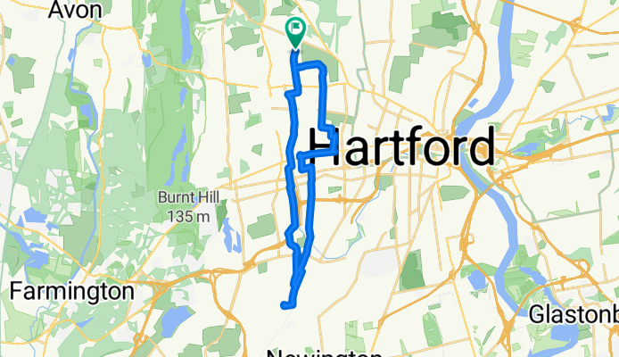
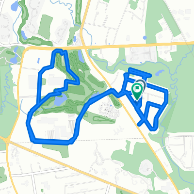
25 mile ride from Emanuel Synagogue
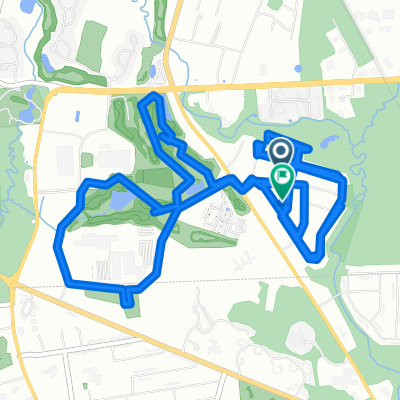
A cycling route starting in Blue Hills, Connecticut, United States.
Overview
About this route
Route from The Emanuel to Temple Sinai 7.5, then 9 miles on Fast Track then back to The Emanuel is 25 mile give or take.
- -:--
- Duration
- 23.3 km
- Distance
- 74 m
- Ascent
- 75 m
- Descent
- ---
- Avg. speed
- ---
- Max. altitude
Route quality
Waytypes & surfaces along the route
Waytypes
Quiet road
9.3 km
(40 %)
Road
7 km
(30 %)
Surfaces
Paved
10.5 km
(45 %)
Paved (undefined)
7 km
(30 %)
Asphalt
3.5 km
(15 %)
Undefined
12.8 km
(55 %)
Continue with Bikemap
Use, edit, or download this cycling route
You would like to ride 25 mile ride from Emanuel Synagogue or customize it for your own trip? Here is what you can do with this Bikemap route:
Free features
- Save this route as favorite or in collections
- Copy & plan your own version of this route
- Sync your route with Garmin or Wahoo
Premium features
Free trial for 3 days, or one-time payment. More about Bikemap Premium.
- Navigate this route on iOS & Android
- Export a GPX / KML file of this route
- Create your custom printout (try it for free)
- Download this route for offline navigation
Discover more Premium features.
Get Bikemap PremiumFrom our community
Other popular routes starting in Blue Hills
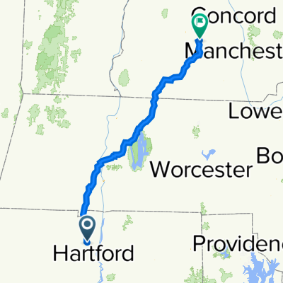
 Bloomfield - Springdale
- Distance
- 170.2 km
- Ascent
- 359 m
- Descent
- 345 m
- Location
- Blue Hills, Connecticut, United States
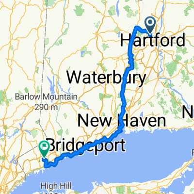
 5 Wyndemere Rd, Bloomfield to 1–127 Cross Rd, Deering
- Distance
- 192.6 km
- Ascent
- 2,098 m
- Descent
- 1,902 m
- Location
- Blue Hills, Connecticut, United States
 7/2/15 both
- Distance
- 8.9 km
- Ascent
- 59 m
- Descent
- 65 m
- Location
- Blue Hills, Connecticut, United States
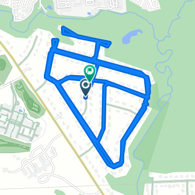
 2nd ride 6.13.15
- Distance
- 12.5 km
- Ascent
- 105 m
- Descent
- 100 m
- Location
- Blue Hills, Connecticut, United States
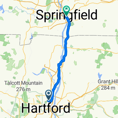 252–324 Cleveland Ave, Hartford to 36–82 Court St, Springfield
- Distance
- 39.1 km
- Ascent
- 173 m
- Descent
- 165 m
- Location
- Blue Hills, Connecticut, United States
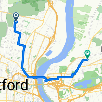 23 Jackson Blvd, Hartford to 54 Woodbridge Ave, East Hartford
- Distance
- 8.2 km
- Ascent
- 3 m
- Descent
- 28 m
- Location
- Blue Hills, Connecticut, United States
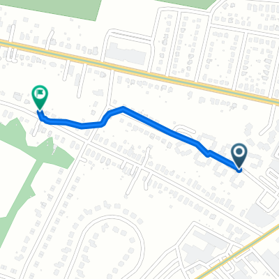 Montville Street 47, Hartford to Cleveland Avenue 176, Hartford
- Distance
- 0.6 km
- Ascent
- 0 m
- Descent
- 0 m
- Location
- Blue Hills, Connecticut, United States
 we6.16.15
- Distance
- 12.7 km
- Ascent
- 97 m
- Descent
- 91 m
- Location
- Blue Hills, Connecticut, United States
Open it in the app