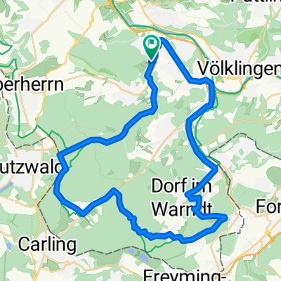
Hochwaldwochenende
A cycling route starting in Schaffhausen, Saarland, Germany.
Overview
About this route
57.5 km - 135 km - 201 km
- -:--
- Duration
- 201 km
- Distance
- 1,195 m
- Ascent
- 1,195 m
- Descent
- ---
- Avg. speed
- ---
- Max. altitude
Route quality
Waytypes & surfaces along the route
Waytypes
Road
54.3 km
(27 %)
Quiet road
26.1 km
(13 %)
Surfaces
Paved
168.8 km
(84 %)
Unpaved
4 km
(2 %)
Asphalt
150.7 km
(75 %)
Paved (undefined)
12.1 km
(6 %)
Route highlights
Points of interest along the route
Point of interest after 135.4 km
Biehl Steinberg
Continue with Bikemap
Use, edit, or download this cycling route
You would like to ride Hochwaldwochenende or customize it for your own trip? Here is what you can do with this Bikemap route:
Free features
- Save this route as favorite or in collections
- Copy & plan your own version of this route
- Split it into stages to create a multi-day tour
- Sync your route with Garmin or Wahoo
Premium features
Free trial for 3 days, or one-time payment. More about Bikemap Premium.
- Navigate this route on iOS & Android
- Export a GPX / KML file of this route
- Create your custom printout (try it for free)
- Download this route for offline navigation
Discover more Premium features.
Get Bikemap PremiumFrom our community
Other popular routes starting in Schaffhausen
- Lange Radrunde durch Wadgassen
- Distance
- 35 km
- Ascent
- 125 m
- Descent
- 125 m
- Location
- Schaffhausen, Saarland, Germany
- RTF Warndtschenke Permanente RSV Fraulautern
- Distance
- 76.2 km
- Ascent
- 689 m
- Descent
- 633 m
- Location
- Schaffhausen, Saarland, Germany
- Schaffhausen - Mettlach
- Distance
- 44.1 km
- Ascent
- 332 m
- Descent
- 349 m
- Location
- Schaffhausen, Saarland, Germany
- Schäfereistraße 67, Wadgassen nach Feldstraße 14, Wadgassen
- Distance
- 16.1 km
- Ascent
- 185 m
- Descent
- 160 m
- Location
- Schaffhausen, Saarland, Germany
- Schaffhausen/Saar zum Rhein
- Distance
- 148.8 km
- Ascent
- 428 m
- Descent
- 531 m
- Location
- Schaffhausen, Saarland, Germany
- Spargelfahrt
- Distance
- 17.4 km
- Ascent
- 167 m
- Descent
- 167 m
- Location
- Schaffhausen, Saarland, Germany
- Warndtrunde
- Distance
- 41.9 km
- Ascent
- 398 m
- Descent
- 398 m
- Location
- Schaffhausen, Saarland, Germany
- Geisberg - Warndtrunde
- Distance
- 33.3 km
- Ascent
- 294 m
- Descent
- 302 m
- Location
- Schaffhausen, Saarland, Germany
Open it in the app