

Carbon Canyon Regional Park
A cycling route starting in Montclair, California, United States.
Overview
About this route
THIS IS A ROUTE FOR ROAD BIKES !!
This route is good when you want to work on climbing and recovery reps.
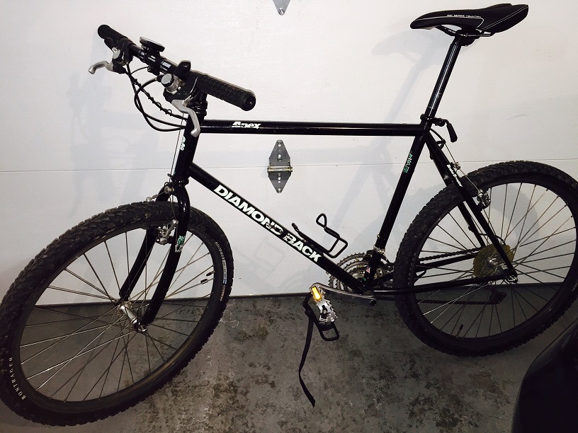
I left my Apex mountain bike at home for this one and hopped on the Allez Elite for a day of climbing.
The run starts out with an easy quick pace going downhill all the way to Pipeline and Chino Hills Parkway. There begins a gradual climb until you reach Carbon Canyon Road, and that is where you begin the mountain climb. Rolling Hills all the way to Carbon Canyon park, so pace yourself and stay well hydrated.
This ride is approx 31 miles roundtrip. Safe-for Ipod use.
- -:--
- Duration
- 49.6 km
- Distance
- 430 m
- Ascent
- 430 m
- Descent
- ---
- Avg. speed
- ---
- Max. altitude
Route quality
Waytypes & surfaces along the route
Waytypes
Busy road
23.4 km
(47 %)
Road
16.9 km
(34 %)
Surfaces
Paved
26 km
(52 %)
Asphalt
25.8 km
(52 %)
Concrete
0.2 km
(<1 %)
Undefined
23.6 km
(48 %)
Continue with Bikemap
Use, edit, or download this cycling route
You would like to ride Carbon Canyon Regional Park or customize it for your own trip? Here is what you can do with this Bikemap route:
Free features
- Save this route as favorite or in collections
- Copy & plan your own version of this route
- Sync your route with Garmin or Wahoo
Premium features
Free trial for 3 days, or one-time payment. More about Bikemap Premium.
- Navigate this route on iOS & Android
- Export a GPX / KML file of this route
- Create your custom printout (try it for free)
- Download this route for offline navigation
Discover more Premium features.
Get Bikemap PremiumFrom our community
Other popular routes starting in Montclair
 Route 66 Trailhead
- Distance
- 26 km
- Ascent
- 126 m
- Descent
- 124 m
- Location
- Montclair, California, United States
 A Ride to Central Park in Rancho Cucamonga
- Distance
- 40.3 km
- Ascent
- 221 m
- Descent
- 221 m
- Location
- Montclair, California, United States
 Red Hill Park
- Distance
- 18 km
- Ascent
- 55 m
- Descent
- 54 m
- Location
- Montclair, California, United States
 Olive Street 4948, Montclair to North Campus Avenue 379, Upland
- Distance
- 6 km
- Ascent
- 29 m
- Descent
- 351 m
- Location
- Montclair, California, United States
 Olive Street 4948, Montclair to Olive Street 4948, Montclair
- Distance
- 29.9 km
- Ascent
- 88 m
- Descent
- 80 m
- Location
- Montclair, California, United States
 Kimball Park
- Distance
- 13.6 km
- Ascent
- 36 m
- Descent
- 34 m
- Location
- Montclair, California, United States
 Pacific Electric Trail - Round Trip
- Distance
- 79.9 km
- Ascent
- 220 m
- Descent
- 221 m
- Location
- Montclair, California, United States
 Claremont colleges sun dial tour
- Distance
- 10.5 km
- Ascent
- 147 m
- Descent
- 116 m
- Location
- Montclair, California, United States
Open it in the app