Dom zu Eichstätt über Ingolstadt bis Wallheim und zurück
A cycling route starting in Eichstätt, Bavaria, Germany.
Overview
About this route
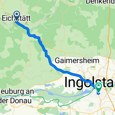
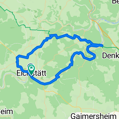
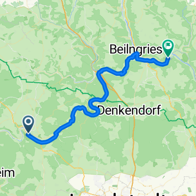
On paved cycling paths, you go from the cathedral in Eichstätt to the climbing rock in front of Dollnstein. After some climbs towards Rennertshofen, you reach Neuburg, which looks medieval. Along the Danube, you head to Ingolstadt and after another one and a half hours, you return to Eichstätt.
- -:--
- Duration
- 100.1 km
- Distance
- 347 m
- Ascent
- 347 m
- Descent
- ---
- Avg. speed
- ---
- Max. altitude
Route photos
Route quality
Waytypes & surfaces along the route
Waytypes
Track
33 km
(33 %)
Path
26 km
(26 %)
Surfaces
Paved
60 km
(60 %)
Unpaved
32 km
(32 %)
Asphalt
56 km
(56 %)
Gravel
19 km
(19 %)
Continue with Bikemap
Use, edit, or download this cycling route
You would like to ride Dom zu Eichstätt über Ingolstadt bis Wallheim und zurück or customize it for your own trip? Here is what you can do with this Bikemap route:
Free features
- Save this route as favorite or in collections
- Copy & plan your own version of this route
- Split it into stages to create a multi-day tour
- Sync your route with Garmin or Wahoo
Premium features
Free trial for 3 days, or one-time payment. More about Bikemap Premium.
- Navigate this route on iOS & Android
- Export a GPX / KML file of this route
- Create your custom printout (try it for free)
- Download this route for offline navigation
Discover more Premium features.
Get Bikemap PremiumFrom our community
Other popular routes starting in Eichstätt
Eichstätt nach Ingolstadt Hbf.- Distance
- 29.1 km
- Ascent
- 249 m
- Descent
- 272 m
- Location
- Eichstätt, Bavaria, Germany
Ostenstraße 3 - Bahnhof Eichstätt- Distance
- 6.9 km
- Ascent
- 127 m
- Descent
- 100 m
- Location
- Eichstätt, Bavaria, Germany
Eichstätt Erkertshofen Kipfenberg Eichstätt- Distance
- 56.2 km
- Ascent
- 708 m
- Descent
- 706 m
- Location
- Eichstätt, Bavaria, Germany
Route in Eichstätt- Distance
- 56.1 km
- Ascent
- 693 m
- Descent
- 692 m
- Location
- Eichstätt, Bavaria, Germany
Eichstätt Kipfenberg- Distance
- 59.5 km
- Ascent
- 727 m
- Descent
- 733 m
- Location
- Eichstätt, Bavaria, Germany
3. etape Eichstatt - Dietfurt an der Altmuhl- Distance
- 56.9 km
- Ascent
- 326 m
- Descent
- 353 m
- Location
- Eichstätt, Bavaria, Germany
Eichstätt - Dietfurt- Distance
- 52.6 km
- Ascent
- 393 m
- Descent
- 416 m
- Location
- Eichstätt, Bavaria, Germany
12-05-16 Bayern: Eichstätt (Altmühltal-Radweg)-Beilngries-Dietfurt-Deising- Distance
- 65.4 km
- Ascent
- 186 m
- Descent
- 236 m
- Location
- Eichstätt, Bavaria, Germany
Open it in the app


