

bretagna2°stage (ipotesi)
A cycling route starting in Roz-sur-Couesnon, Brittany Region, France.
Overview
About this route
To make up time, we prioritized the landscapes over tourist cities like Saint Malo... which I think have their charm... What do you think? From which day would you abandon us?
- -:--
- Duration
- 243.7 km
- Distance
- 695 m
- Ascent
- 649 m
- Descent
- ---
- Avg. speed
- ---
- Max. altitude

Route quality
Waytypes & surfaces along the route
Waytypes
Road
87.7 km
(36 %)
Quiet road
82.8 km
(34 %)
Surfaces
Paved
109.6 km
(45 %)
Unpaved
12.2 km
(5 %)
Asphalt
109.6 km
(45 %)
Gravel
4.9 km
(2 %)
Route highlights
Points of interest along the route
Photo after 26.6 km
su roccia granitica, mulino a vento,una statua della MADONNA e cappella annessa ;)
Accommodation after 27.2 km
Photo after 27.2 km
scogliere battute del vento
Photo after 27.2 km
uccelli e ostriche
Accommodation after 57.3 km
camping minicipal
Photo after 58.2 km
città medioevale con 3km di bastioni
Bike service after 59.1 km
Photo after 70.4 km
st-malo
Photo after 97.1 km
forte a picco sul mare ,ponti levatoi
Photo after 100 km
falesie ..vera aria bretagna.....battute dal vento!!!!!!!!!!
Photo after 100 km
uno dei 5 fari più potenti della francia
Bike service after 102.1 km
Accommodation after 102.7 km
camping municipale
Accommodation after 104.9 km
pont letang
Accommodation after 131.1 km
camping municipal
Point of interest after 143.9 km
riserva naturale saint brieuc
Bike service after 146.1 km
Point of interest after 147.1 km
possibile fermata
Accommodation after 150.9 km
camping le lay eouzan
Accommodation after 152.5 km
camping des rosaires
Accommodation after 152.5 km
camp. mouette
Accommodation after 162.1 km
camping mounicipal de fauvet
Photo after 172.9 km
scogliere più alte della bretagna
Point of interest after 178.1 km
punto in cui la resistenza francese fece allontanare centinaia di aviatori e agenti
Accommodation after 186.5 km
campground la pepinier
Photo after 190.1 km
abbazia de beaupont
Accommodation after 190.2 km
municipal de cruckin (caro??)
Photo after 192.2 km
Photo after 193 km
paintpol festival del mare 11-12-12-agosto museo del mare
Bike service after 199.8 km
Accommodation after 200.8 km
camping municipal de kermanguer (tariffe molto buone??)
Accommodation after 233.2 km
camping municipal les deux rives
Accommodation after 237.1 km
camping Abri cotier
Accommodation after 237.1 km
camping municipal de ille grande
Point of interest after 237.1 km
dolmen
Accommodation after 242.1 km
camping municipal ernest renan
Accommodation after 243.7 km
camping municipal de landrellec
Point of interest after 243.7 km
scogliere di granito
Point of interest after 243.7 km
sito naturalisrico de bringuiller
Continue with Bikemap
Use, edit, or download this cycling route
You would like to ride bretagna2°stage (ipotesi) or customize it for your own trip? Here is what you can do with this Bikemap route:
Free features
- Save this route as favorite or in collections
- Copy & plan your own version of this route
- Split it into stages to create a multi-day tour
- Sync your route with Garmin or Wahoo
Premium features
Free trial for 3 days, or one-time payment. More about Bikemap Premium.
- Navigate this route on iOS & Android
- Export a GPX / KML file of this route
- Create your custom printout (try it for free)
- Download this route for offline navigation
Discover more Premium features.
Get Bikemap PremiumFrom our community
Other popular routes starting in Roz-sur-Couesnon
 2: Mont St Michel to Saintes
- Distance
- 384 km
- Ascent
- 617 m
- Descent
- 622 m
- Location
- Roz-sur-Couesnon, Brittany Region, France
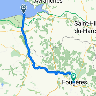 Von Le Mont-Saint-Michel bis Fougères
- Distance
- 54.6 km
- Ascent
- 342 m
- Descent
- 217 m
- Location
- Roz-sur-Couesnon, Brittany Region, France
 Mont Saint Michel - Roscff
- Distance
- 348.7 km
- Ascent
- 822 m
- Descent
- 814 m
- Location
- Roz-sur-Couesnon, Brittany Region, France
 Le Mont-Saint-Michelà Domfront V43/V40
- Distance
- 87.5 km
- Ascent
- 525 m
- Descent
- 408 m
- Location
- Roz-sur-Couesnon, Brittany Region, France
 La Régalante
- Distance
- 284.3 km
- Ascent
- 1,545 m
- Descent
- 1,542 m
- Location
- Roz-sur-Couesnon, Brittany Region, France
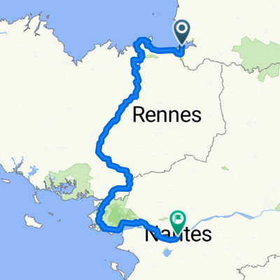 Mont Saint Michel-Nantes
- Distance
- 416.8 km
- Ascent
- 2,271 m
- Descent
- 2,263 m
- Location
- Roz-sur-Couesnon, Brittany Region, France
 Le Mont-Saint-Michel - Le Vivier-sur-Mer
- Distance
- 28.7 km
- Ascent
- 5 m
- Descent
- 27 m
- Location
- Roz-sur-Couesnon, Brittany Region, France
 Le Mont Saint Michel nach Saint-Malo
- Distance
- 47.7 km
- Ascent
- 95 m
- Descent
- 137 m
- Location
- Roz-sur-Couesnon, Brittany Region, France
Open it in the app