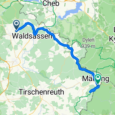
KonersreutBürgerreut
- 71.4 km
- 343 m
- 590 m
- Waldsassen, Bavaria, Germany
A cycling route starting in Waldsassen, Bavaria, Germany.
Overview
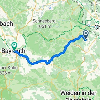
created this 15 years ago
Route quality
Road
53.5 km
(40 %)
Quiet road
6.7 km
(5 %)
Paved
60.2 km
(45 %)
Unpaved
5.4 km
(4 %)
Asphalt
60.2 km
(45 %)
Gravel
4 km
(3 %)
Continue with Bikemap
You would like to ride 2. Teil Furth i.Wald - Cossebaude or customize it for your own trip? Here is what you can do with this Bikemap route:
Free trial for 3 days, or one-time payment. More about Bikemap Premium.
Discover more Premium features.
Get Bikemap PremiumFrom our community
Open it in the app