

Les plus beaux villages
A cycling route starting in Meyssac, Nouvelle-Aquitaine, France.
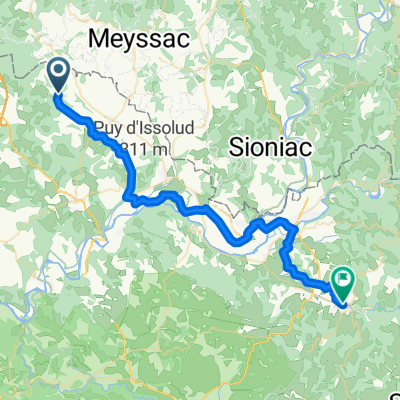
Overview
About this route
- -:--
- Duration
- 82 km
- Distance
- 1,046 m
- Ascent
- 1,046 m
- Descent
- ---
- Avg. speed
- ---
- Max. altitude

Route quality
Waytypes & surfaces along the route
Waytypes
Road
41.8 km
(51 %)
Quiet road
18.1 km
(22 %)
Surfaces
Paved
48.4 km
(59 %)
Asphalt
46.8 km
(57 %)
Paved (undefined)
1.6 km
(2 %)
Undefined
33.6 km
(41 %)
Continue with Bikemap
Use, edit, or download this cycling route
You would like to ride Les plus beaux villages or customize it for your own trip? Here is what you can do with this Bikemap route:
Free features
- Save this route as favorite or in collections
- Copy & plan your own version of this route
- Split it into stages to create a multi-day tour
- Sync your route with Garmin or Wahoo
Premium features
Free trial for 3 days, or one-time payment. More about Bikemap Premium.
- Navigate this route on iOS & Android
- Export a GPX / KML file of this route
- Create your custom printout (try it for free)
- Download this route for offline navigation
Discover more Premium features.
Get Bikemap PremiumFrom our community
Other popular routes starting in Meyssac
 02 Gaskoňsko 2011 - Collonges la Rouge
- Distance
- 46 km
- Ascent
- 655 m
- Descent
- 581 m
- Location
- Meyssac, Nouvelle-Aquitaine, France
 saint-cirq lapopie
- Distance
- 98.7 km
- Ascent
- 1,449 m
- Descent
- 1,311 m
- Location
- Meyssac, Nouvelle-Aquitaine, France
 Rignac
- Distance
- 44.2 km
- Ascent
- 656 m
- Descent
- 656 m
- Location
- Meyssac, Nouvelle-Aquitaine, France
 Saint-julien-maumont dordogne martel
- Distance
- 44.2 km
- Ascent
- 647 m
- Descent
- 647 m
- Location
- Meyssac, Nouvelle-Aquitaine, France
 Saint-julien-maumont dordogne puybrun
- Distance
- 44.5 km
- Ascent
- 1,125 m
- Descent
- 1,123 m
- Location
- Meyssac, Nouvelle-Aquitaine, France
 Impasse de la Romaine, Cressensac-Sarrazac à Place de la République, Saint-Céré
- Distance
- 44.1 km
- Ascent
- 399 m
- Descent
- 467 m
- Location
- Meyssac, Nouvelle-Aquitaine, France
 Trip vélo Cantal - Corrèze 2011 - 04 - Collonges la Rouge / Argentat
- Distance
- 49.7 km
- Ascent
- 438 m
- Descent
- 450 m
- Location
- Meyssac, Nouvelle-Aquitaine, France
 devils chair
- Distance
- 13.6 km
- Ascent
- 547 m
- Descent
- 553 m
- Location
- Meyssac, Nouvelle-Aquitaine, France
Open it in the app