Am Farrenpoint vorbeigeschrammt
- 9.2 km
- 534 m
- 533 m
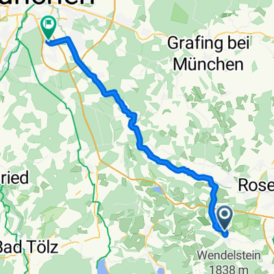
- Bad Feilnbach, Bavaria, Germany
A cycling route starting in Bad Feilnbach, Bavaria, Germany.
Overview
created this 8 years ago
Route quality
Path
6 km
(34 %)
Track
5.1 km
(29 %)
Paved
10.4 km
(59 %)
Unpaved
6.2 km
(35 %)
Asphalt
10.4 km
(59 %)
Gravel
4.2 km
(24 %)
Continue with Bikemap
You would like to ride tregler alm bad Aibling or customize it for your own trip? Here is what you can do with this Bikemap route:
Free trial for 3 days, or one-time payment. More about Bikemap Premium.
Discover more Premium features.
Get Bikemap PremiumFrom our community
Open it in the app