

Mount Everest/Harangláb
A cycling route starting in Zalakomár, Zala County, Hungary.
Overview
About this route
Két keréken, két lábon és nyitott szemmel…
Two wheels, two feet and with your eyes open… / Zwei Räder, zwei Füße und öffnen Sie Ihre Augen… / A dveh kolesih, dveh nogah in odprtimi očmi… / Dva kotača, dvije noge i otvorene oči…
A Zala mentén / Along the Zala / An der Zala / Uz Zala / Ob Zala
Tematikus túrák / Thematic tours / Themenausflüge / Tematski izleti
Természet / Nature / Natur / Priroda
Kult-túra / Cult Tour / Kult-Tour / Kulturni Tour
Mount Everest túra / Mount Everest Tour / Mount Everest-Tour
A Mount Everest túra lényege, hogy magaslatra visz fel, az útvonalterv csak oda szól, és a táv a 8 km fele. A Mount Everest elnevezést Bősz Imi barátom után szabadon alkalmazom.
- -:--
- Duration
- 4.4 km
- Distance
- 75 m
- Ascent
- 37 m
- Descent
- ---
- Avg. speed
- ---
- Max. altitude

Route quality
Waytypes & surfaces along the route
Waytypes
Quiet road
3.6 km
(81 %)
Cycleway
0.3 km
(7 %)
Surfaces
Paved
3.6 km
(82 %)
Asphalt
3.6 km
(81 %)
Concrete
0 km
(1 %)
Undefined
0.8 km
(18 %)
Route highlights
Points of interest along the route
Point of interest after 0 km
Kerékpáros ház Tourinform Iroda A horvátországi Kaproncától Csáktornya és Nagykanizsa érintésével Zalakarosig vezető, uniós forrásból megvalósuló 300 kilométer hosszú kerékpárút része
Point of interest after 0.5 km
Székelykapu "Zalakaros városnak állíttatta Zsufa Levente (Kovászna egykori polgármestere), közreműködtek Gáspár Csaba, Varga Tibor, Farkas Róbert népi fafaragás mestere" 2010 Termál út (Arborétum bejárata)
Point of interest after 0.6 km
Fahíd Boa Endre Arborétum 1994
Point of interest after 0.7 km
Point of interest after 0.9 km
Point of interest after 1.2 km
Point of interest after 2.2 km
Európa park
Point of interest after 2.8 km
Point of interest after 3.2 km
Point of interest after 3.9 km
Point of interest after 4.4 km
Harangláb utca teteje
Continue with Bikemap
Use, edit, or download this cycling route
You would like to ride Mount Everest/Harangláb or customize it for your own trip? Here is what you can do with this Bikemap route:
Free features
- Save this route as favorite or in collections
- Copy & plan your own version of this route
- Sync your route with Garmin or Wahoo
Premium features
Free trial for 3 days, or one-time payment. More about Bikemap Premium.
- Navigate this route on iOS & Android
- Export a GPX / KML file of this route
- Create your custom printout (try it for free)
- Download this route for offline navigation
Discover more Premium features.
Get Bikemap PremiumFrom our community
Other popular routes starting in Zalakomár
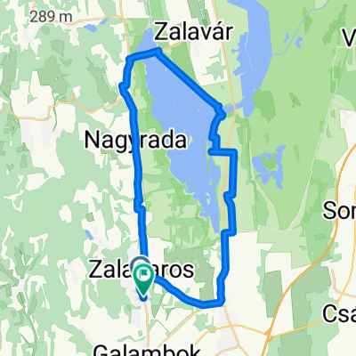
 VILLTEK Teljesítménytúra 2025 - 61km - 18. Mapei Tour de Zalakaros
- Distance
- 60.9 km
- Ascent
- 458 m
- Descent
- 457 m
- Location
- Zalakomár, Zala County, Hungary
 Mount Everest/Harangláb
- Distance
- 4.4 km
- Ascent
- 75 m
- Descent
- 37 m
- Location
- Zalakomár, Zala County, Hungary
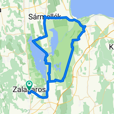
 Zalakaros - Zalakaros
- Distance
- 36.9 km
- Ascent
- 121 m
- Descent
- 119 m
- Location
- Zalakomár, Zala County, Hungary
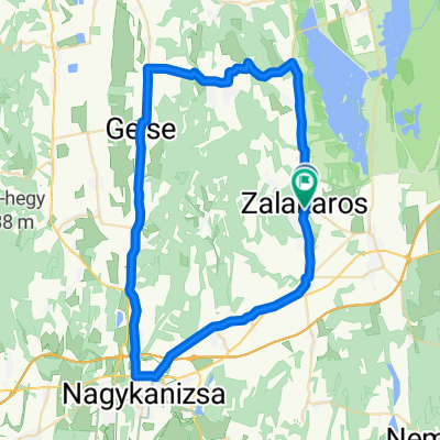 Zalakaros 2
- Distance
- 57.8 km
- Ascent
- 417 m
- Descent
- 415 m
- Location
- Zalakomár, Zala County, Hungary
 Zalakaros 1
- Distance
- 77.1 km
- Ascent
- 159 m
- Descent
- 159 m
- Location
- Zalakomár, Zala County, Hungary
 Rövid túra/Séta a szabadtéri mozihoz
- Distance
- 4.2 km
- Ascent
- 50 m
- Descent
- 51 m
- Location
- Zalakomár, Zala County, Hungary
 Karos Spa Kis-Balaton Családi Bringatúra 2025 - 18. Mapei Tour de Zalakaros
- Distance
- 35 km
- Ascent
- 88 m
- Descent
- 99 m
- Location
- Zalakomár, Zala County, Hungary
 HW QA bicycle trip
- Distance
- 39.2 km
- Ascent
- 142 m
- Descent
- 141 m
- Location
- Zalakomár, Zala County, Hungary
Open it in the app