

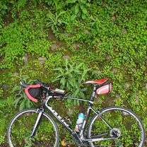
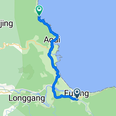
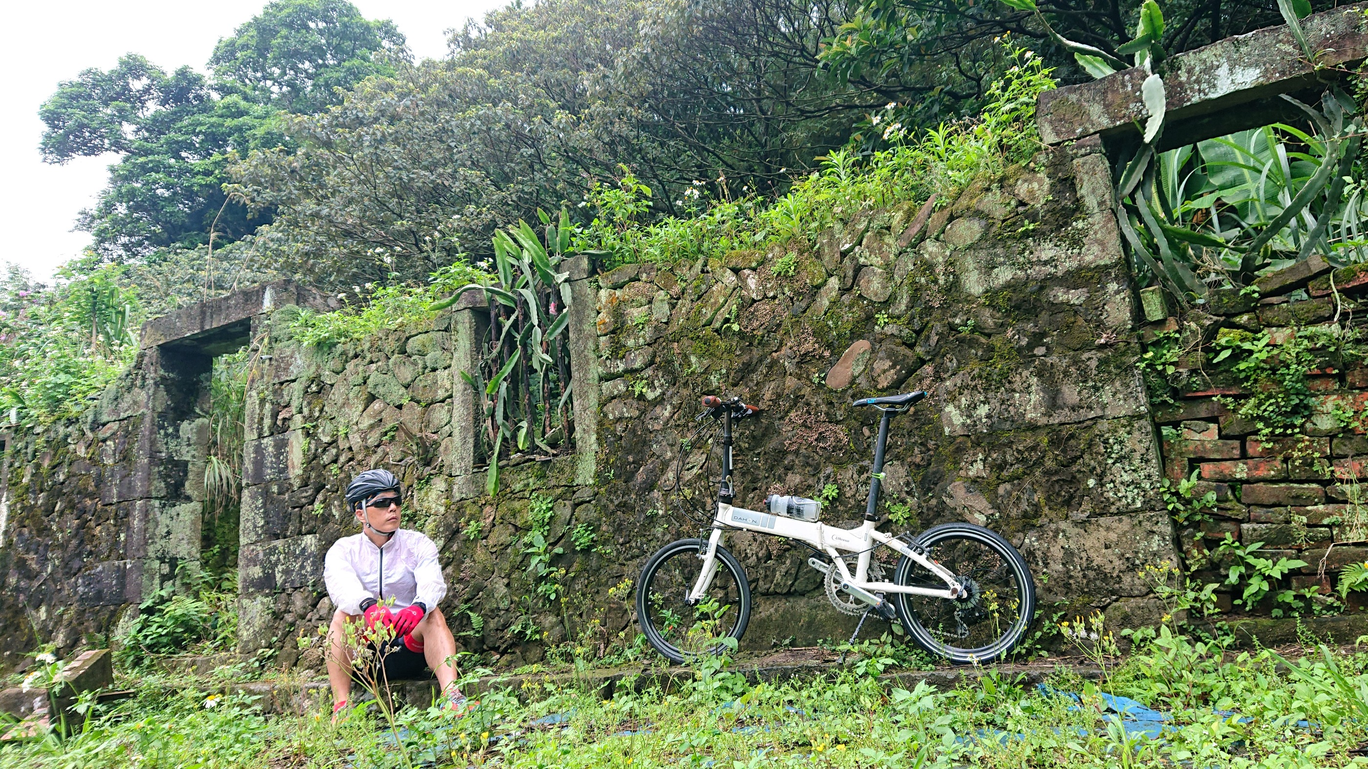
Day thirteen
A cycling route starting in Keelung, Taiwan, Taiwan.
Overview
About this route
台灣
- 7 h 59 min
- Duration
- 92.7 km
- Distance
- 387 m
- Ascent
- 384 m
- Descent
- 11.6 km/h
- Avg. speed
- ---
- Max. altitude

Continue with Bikemap
Use, edit, or download this cycling route
You would like to ride Day thirteen or customize it for your own trip? Here is what you can do with this Bikemap route:
Free features
- Save this route as favorite or in collections
- Copy & plan your own version of this route
- Split it into stages to create a multi-day tour
- Sync your route with Garmin or Wahoo
Premium features
Free trial for 3 days, or one-time payment. More about Bikemap Premium.
- Navigate this route on iOS & Android
- Export a GPX / KML file of this route
- Create your custom printout (try it for free)
- Download this route for offline navigation
Discover more Premium features.
Get Bikemap PremiumFrom our community
Other popular routes starting in Keelung
 Project S
- Distance
- 1,136.3 km
- Ascent
- 1,682 m
- Descent
- 1,655 m
- Location
- Keelung, Taiwan, Taiwan
 TUAA 不厭‧五分 雙峰挑戰 2011 KOM「快樂登山王‧騎士模擬考」
- Distance
- 57.7 km
- Ascent
- 1,428 m
- Descent
- 1,425 m
- Location
- Keelung, Taiwan, Taiwan
 大尖山風景區路線
- Distance
- 8.1 km
- Ascent
- 678 m
- Descent
- 222 m
- Location
- Keelung, Taiwan, Taiwan
 Brief ride through Sijhih District
- Distance
- 0.2 km
- Ascent
- 4 m
- Descent
- 4 m
- Location
- Keelung, Taiwan, Taiwan
 第 50 碇
- Distance
- 19 km
- Ascent
- 371 m
- Descent
- 368 m
- Location
- Keelung, Taiwan, Taiwan
 Keelung - Keelung
- Distance
- 10.9 km
- Ascent
- 67 m
- Descent
- 72 m
- Location
- Keelung, Taiwan, Taiwan
 A餐:環抱情人連環三砲外加台灣第一古隧道
- Distance
- 72.7 km
- Ascent
- 1,004 m
- Descent
- 1,007 m
- Location
- Keelung, Taiwan, Taiwan
 2022-04-17 09:40:42 單車平溪灰窯瀑布繞行基隆河自行車道
- Distance
- 95.2 km
- Ascent
- 2,330 m
- Descent
- 2,326 m
- Location
- Keelung, Taiwan, Taiwan
Open it in the app