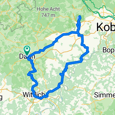
Tour aus der Zeitschrift Mountainbike (05)
- 51.8 km
- 803 m
- 806 m
- Daun, Rhineland-Palatinate, Germany
A cycling route starting in Daun, Rhineland-Palatinate, Germany.
Overview
From Daun to Bernkastel-Kues on a former railway line
created this 17 years ago
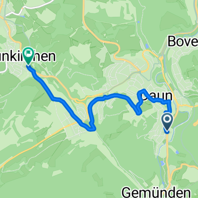
Route quality
Cycleway
40.7 km
(70 %)
Quiet road
4.7 km
(8 %)
Paved
54.7 km
(94 %)
Asphalt
52.4 km
(90 %)
Paved (undefined)
2.3 km
(4 %)
Undefined
3.5 km
(6 %)
Continue with Bikemap
You would like to ride Maare-Mosel-Radweg 090606 or customize it for your own trip? Here is what you can do with this Bikemap route:
Free trial for 3 days, or one-time payment. More about Bikemap Premium.
Discover more Premium features.
Get Bikemap PremiumFrom our community
Open it in the app