Entlang der Unstrut
A cycling route starting in Bad Langensalza, Thuringia, Germany.
Overview
About this route
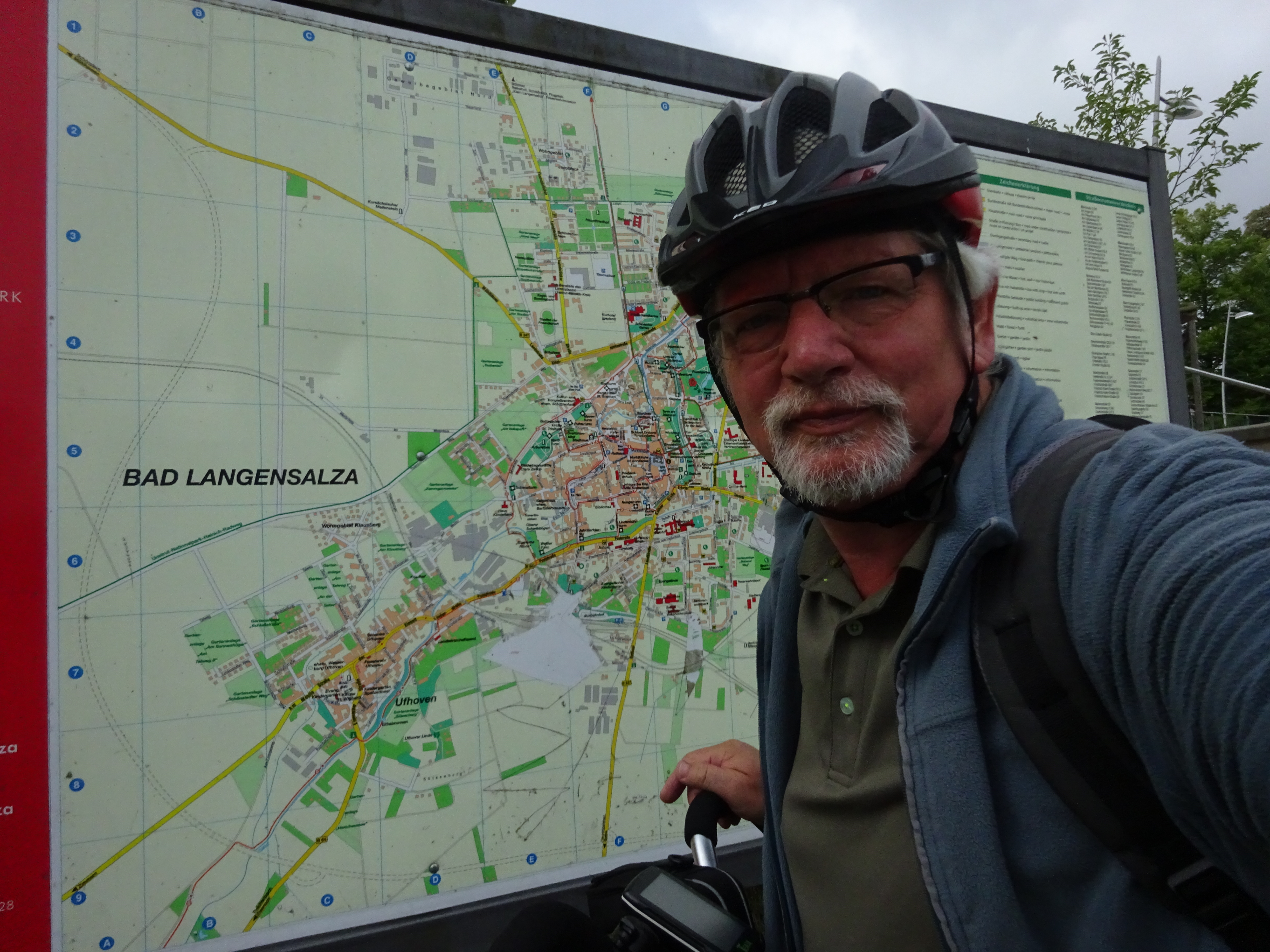
Habe diese Route in drei Etappen gefahren und dann mit der Bahn wieder zurück. die Route ist für jedermann geeignet. das ich manchmal Strecken auf der Strasse gewählt habe, lag an der Witterung . Vom Wendelstein nach Memleben gibt es auch eine flachere Variante. Auch in Naumburg hätte ich eine andere Route gewählt, wenn das Wetter besser gewesen wäre. in Wangen emphielt sich ein Abstecher zur Arche Nebra, Rast kann man im Waldschlösschen machen. Sehr zu empfehlen für eine Übernachtung ist der Campingplatz in Heldrungen.
- -:--
- Duration
- 147.7 km
- Distance
- 143 m
- Ascent
- 247 m
- Descent
- ---
- Avg. speed
- ---
- Max. altitude
Route quality
Waytypes & surfaces along the route
Waytypes
Track
56.1 km
(38 %)
Quiet road
34 km
(23 %)
Surfaces
Paved
116.7 km
(79 %)
Unpaved
11.8 km
(8 %)
Asphalt
109.3 km
(74 %)
Gravel
8.9 km
(6 %)
Route highlights
Points of interest along the route

Point of interest after 0 km
Start am Bahnhof

Point of interest after 5.4 km
Rastplatz

Photo after 41.5 km

Accommodation after 46.4 km
Gutes Essen

Point of interest after 60.8 km

Point of interest after 71.3 km
Wasserschloss

Point of interest after 74.7 km
Naturbad und Campingplatz

Accommodation after 111 km
Continue with Bikemap
Use, edit, or download this cycling route
You would like to ride Entlang der Unstrut or customize it for your own trip? Here is what you can do with this Bikemap route:
Free features
- Save this route as favorite or in collections
- Copy & plan your own version of this route
- Split it into stages to create a multi-day tour
- Sync your route with Garmin or Wahoo
Premium features
Free trial for 3 days, or one-time payment. More about Bikemap Premium.
- Navigate this route on iOS & Android
- Export a GPX / KML file of this route
- Create your custom printout (try it for free)
- Download this route for offline navigation
Discover more Premium features.
Get Bikemap PremiumFrom our community
Other popular routes starting in Bad Langensalza
 LSZ - SW-Runde 1
- Distance
- 21.6 km
- Ascent
- 197 m
- Descent
- 200 m
- Location
- Bad Langensalza, Thuringia, Germany
 Durch den Hainich
- Distance
- 63.5 km
- Ascent
- 392 m
- Descent
- 319 m
- Location
- Bad Langensalza, Thuringia, Germany
 Tour durch den Hainich
- Distance
- 67 km
- Ascent
- 415 m
- Descent
- 422 m
- Location
- Bad Langensalza, Thuringia, Germany
 2017 Unstrut Nagelstädt-Großvargula
- Distance
- 40.8 km
- Ascent
- 268 m
- Descent
- 267 m
- Location
- Bad Langensalza, Thuringia, Germany
 1.Tag der 3-Tage Tour durch den Hainich
- Distance
- 25.4 km
- Ascent
- 351 m
- Descent
- 197 m
- Location
- Bad Langensalza, Thuringia, Germany
 19_Bad Langensalza – Sömmerda
- Distance
- 43.8 km
- Ascent
- 95 m
- Descent
- 140 m
- Location
- Bad Langensalza, Thuringia, Germany
 2016-07-16: Unstrut - Hainich (gelb, rot) - Unstrut
- Distance
- 75.2 km
- Ascent
- 358 m
- Descent
- 355 m
- Location
- Bad Langensalza, Thuringia, Germany
 Hainich Bad Langensalza - Creutzburg - Hörschel - Eisenach
- Distance
- 51.7 km
- Ascent
- 586 m
- Descent
- 549 m
- Location
- Bad Langensalza, Thuringia, Germany
Open it in the app


