
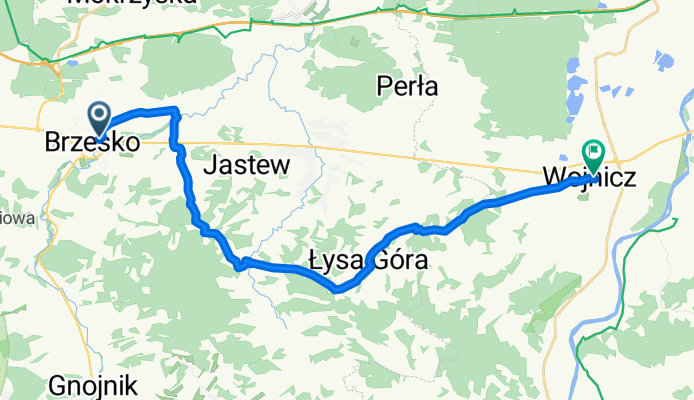
Brzesko - Wojnicz
A cycling route starting in Brzesko, Lesser Poland Voivodeship, Poland.
Overview
About this route
A visually and profile varied route from Brzesko to Wojnicz. Along the way, there are 2 major climbs (Bocheniec and Godów) and a passage through the Swedish gorge just before Wojnicz. At the top of Bocheniec is a viewpoint that allows you to see the panorama of Tarnów, Brzesko, and in good conditions, the Sandomierz Basin and on the other side, the Beskids and the Tatras. From the top of Godów, you can observe the panorama of the surrounding hills and in good conditions, the Tatras. In the village of Porąbka Uszewska, right next to the route, you can find 2 interesting sacred sites - a church and the grotto of Our Lady of Lourdes. The route is of medium difficulty (steep climbs).
- -:--
- Duration
- 23.5 km
- Distance
- 391 m
- Ascent
- 412 m
- Descent
- ---
- Avg. speed
- ---
- Max. altitude

Route quality
Waytypes & surfaces along the route
Waytypes
Quiet road
12.9 km
(55 %)
Road
10.1 km
(43 %)
Surfaces
Paved
4.5 km
(19 %)
Asphalt
4.2 km
(18 %)
Paved (undefined)
0.2 km
(1 %)
Undefined
19 km
(81 %)
Continue with Bikemap
Use, edit, or download this cycling route
You would like to ride Brzesko - Wojnicz or customize it for your own trip? Here is what you can do with this Bikemap route:
Free features
- Save this route as favorite or in collections
- Copy & plan your own version of this route
- Sync your route with Garmin or Wahoo
Premium features
Free trial for 3 days, or one-time payment. More about Bikemap Premium.
- Navigate this route on iOS & Android
- Export a GPX / KML file of this route
- Create your custom printout (try it for free)
- Download this route for offline navigation
Discover more Premium features.
Get Bikemap PremiumFrom our community
Other popular routes starting in Brzesko
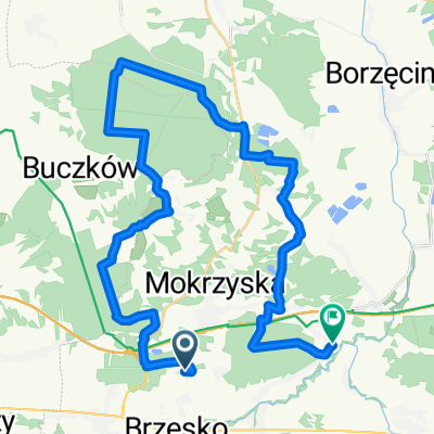
 Brzesko - Łazy k. Ojcowa
- Distance
- 96.5 km
- Ascent
- 375 m
- Descent
- 232 m
- Location
- Brzesko, Lesser Poland Voivodeship, Poland
 Tadeusza Kościuszki 68, Brzesko do Tadeusza Kościuszki 72a, Brzesko
- Distance
- 8.3 km
- Ascent
- 107 m
- Descent
- 109 m
- Location
- Brzesko, Lesser Poland Voivodeship, Poland
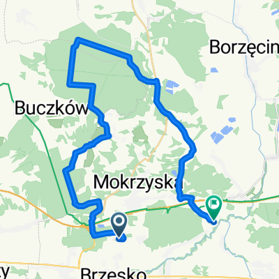
 brzesko-okocim
- Distance
- 35.6 km
- Ascent
- 161 m
- Descent
- 169 m
- Location
- Brzesko, Lesser Poland Voivodeship, Poland
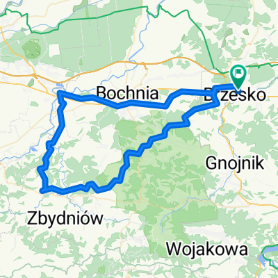
 OKOCIM-N.Sącz-S.Lubovńa-S.Bela-L.Mikulas-Zuberec-Glinka-RAJCZA (14-17VIII2008)
- Distance
- 332.1 km
- Ascent
- 1,970 m
- Descent
- 1,685 m
- Location
- Brzesko, Lesser Poland Voivodeship, Poland
 brzesko-okocim-short
- Distance
- 31.9 km
- Ascent
- 146 m
- Descent
- 155 m
- Location
- Brzesko, Lesser Poland Voivodeship, Poland
 Brzesko - Wojnicz
- Distance
- 23.5 km
- Ascent
- 391 m
- Descent
- 412 m
- Location
- Brzesko, Lesser Poland Voivodeship, Poland
 trasa 2
- Distance
- 76.5 km
- Ascent
- 1,028 m
- Descent
- 1,028 m
- Location
- Brzesko, Lesser Poland Voivodeship, Poland
 Gródek nad D. -> Biadoliny
- Distance
- 81.8 km
- Ascent
- 588 m
- Descent
- 592 m
- Location
- Brzesko, Lesser Poland Voivodeship, Poland
Open it in the app