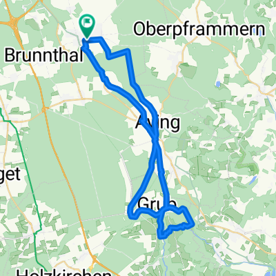
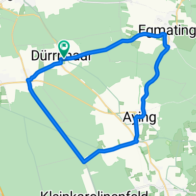
Rundfahrt Siegertsbrunn-Kirchstockach-Unterhaching-Neubiberg-Ottobrunn-Hohenbrunn-Siegertsbrunn
A cycling route starting in Höhenkirchen-Siegertsbrunn, Bavaria, Germany.
Overview
About this route
Einfache Tour, größtenteils Fahrradwege oder Feldwege.
- -:--
- Duration
- 26.3 km
- Distance
- 22 m
- Ascent
- 41 m
- Descent
- ---
- Avg. speed
- 590 m
- Avg. speed
Route quality
Waytypes & surfaces along the route
Waytypes
Path
15.5 km
(59 %)
Quiet road
7.1 km
(27 %)
Surfaces
Paved
26.3 km
(100 %)
Asphalt
25.2 km
(96 %)
Paving stones
0.8 km
(3 %)
Continue with Bikemap
Use, edit, or download this cycling route
You would like to ride Rundfahrt Siegertsbrunn-Kirchstockach-Unterhaching-Neubiberg-Ottobrunn-Hohenbrunn-Siegertsbrunn or customize it for your own trip? Here is what you can do with this Bikemap route:
Free features
- Save this route as favorite or in collections
- Copy & plan your own version of this route
- Sync your route with Garmin or Wahoo
Premium features
Free trial for 3 days, or one-time payment. More about Bikemap Premium.
- Navigate this route on iOS & Android
- Export a GPX / KML file of this route
- Create your custom printout (try it for free)
- Download this route for offline navigation
Discover more Premium features.
Get Bikemap PremiumFrom our community
Other popular routes starting in Höhenkirchen-Siegertsbrunn
- Weg zur Arbeit
- Distance
- 20.4 km
- Ascent
- 16 m
- Descent
- 90 m
- Location
- Höhenkirchen-Siegertsbrunn, Bavaria, Germany
- Kleine Runde
- Distance
- 18.4 km
- Ascent
- 131 m
- Descent
- 129 m
- Location
- Höhenkirchen-Siegertsbrunn, Bavaria, Germany
- Höhenkirchen-Valley
- Distance
- 66 km
- Ascent
- 841 m
- Descent
- 842 m
- Location
- Höhenkirchen-Siegertsbrunn, Bavaria, Germany
- HöSi Wald.
- Distance
- 9.8 km
- Ascent
- 6 m
- Descent
- 6 m
- Location
- Höhenkirchen-Siegertsbrunn, Bavaria, Germany
- Höhenkirchen / Kleinhöhenkirchen mit Trails
- Distance
- 37.8 km
- Ascent
- 228 m
- Descent
- 228 m
- Location
- Höhenkirchen-Siegertsbrunn, Bavaria, Germany
- Höhenkirchen-Kastensee-Aschbach-Höhenkirchen
- Distance
- 41.2 km
- Ascent
- 471 m
- Descent
- 460 m
- Location
- Höhenkirchen-Siegertsbrunn, Bavaria, Germany
- Finkenstraße 3, Höhenkirchen-Siegertsbrunn nach Gartenstraße, Höhenkirchen-Siegertsbrunn
- Distance
- 35.7 km
- Ascent
- 514 m
- Descent
- 513 m
- Location
- Höhenkirchen-Siegertsbrunn, Bavaria, Germany
- 31.1 Südroute
- Distance
- 31.7 km
- Ascent
- 108 m
- Descent
- 104 m
- Location
- Höhenkirchen-Siegertsbrunn, Bavaria, Germany
Open it in the app