

Etappe 2 Gardasee
- 89.9 km
- 2,225 m
- 1,852 m
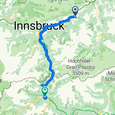
- Pill, Tyrol, Austria
A cycling route starting in Pill, Tyrol, Austria.
Overview
Continue with Bikemap
You would like to ride Hochpillberg-Sidanjoch-Vorderlanersbach or customize it for your own trip? Here is what you can do with this Bikemap route:
Free trial for 3 days, or one-time payment. More about Bikemap Premium.
Discover more Premium features.
Get Bikemap PremiumFrom our community
Open it in the app


