Hell Day - improved
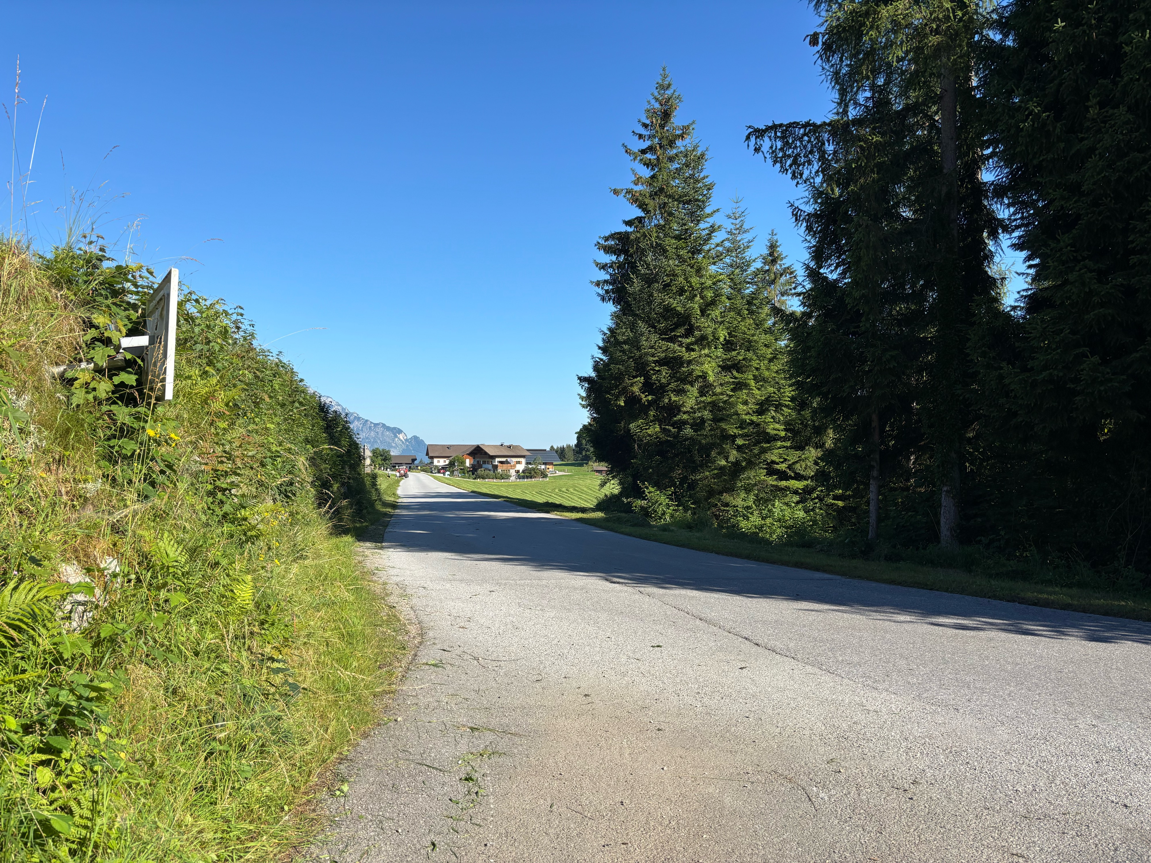
A cycling route starting in Hallein, Salzburg, Austria.
Overview
About this route
The objective: 3000 meters of elevation with approx. 100 km distance. This is an average of 3% - implies an average ascent grade of 6% assuming equal distances up and down. In fact the average ascent will be higher, since there are level areas on the course.
- -:--
- Duration
- 102.6 km
- Distance
- 3,031 m
- Ascent
- 3,031 m
- Descent
- ---
- Avg. speed
- ---
- Avg. speed
Route highlights
Points of interest along the route
Point of interest after 40 km
First rest stop area. 45-60 minute break. Should eat a light meal here.
Point of interest after 92.9 km
Last rest stop Time to celebrate Have a beer and relax Only 20 km remaining - all down hill
Point of interest after 98.4 km
Second, and third rest stop. After the next peak, this is the Celebration Rest Stop All the elevation is behind us, stop and have a beer in this nice little town
Continue with Bikemap
Use, edit, or download this cycling route
You would like to ride Hell Day - improved or customize it for your own trip? Here is what you can do with this Bikemap route:
Free features
- Save this route as favorite or in collections
- Copy & plan your own version of this route
- Sync your route with Garmin or Wahoo
Premium features
Free trial for 3 days, or one-time payment. More about Bikemap Premium.
- Navigate this route on iOS & Android
- Export a GPX / KML file of this route
- Create your custom printout (try it for free)
- Download this route for offline navigation
Discover more Premium features.
Get Bikemap PremiumFrom our community
Other popular routes starting in Hallein
- roßfeld hallein
- Distance
- 33.9 km
- Ascent
- 1,225 m
- Descent
- 1,221 m
- Location
- Hallein, Salzburg, Austria
- Rund um den Hohen Göll
- Distance
- 61.3 km
- Ascent
- 1,903 m
- Descent
- 1,900 m
- Location
- Hallein, Salzburg, Austria
- Vigaun - Dürrnberg
- Distance
- 11.3 km
- Ascent
- 491 m
- Descent
- 109 m
- Location
- Hallein, Salzburg, Austria
- Solnograško 1. dan
- Distance
- 59.4 km
- Ascent
- 294 m
- Descent
- 235 m
- Location
- Hallein, Salzburg, Austria
- Lange Ausfahrt durch 'Hallein'
- Distance
- 32 km
- Ascent
- 368 m
- Descent
- 362 m
- Location
- Hallein, Salzburg, Austria
- Rund um den Untersberg
- Distance
- 56.5 km
- Ascent
- 1,237 m
- Descent
- 1,234 m
- Location
- Hallein, Salzburg, Austria
- Hell Day - improved
- Distance
- 102.6 km
- Ascent
- 3,031 m
- Descent
- 3,031 m
- Location
- Hallein, Salzburg, Austria
- Schlenken
- Distance
- 37.4 km
- Ascent
- 1,186 m
- Descent
- 1,186 m
- Location
- Hallein, Salzburg, Austria
Open it in the app