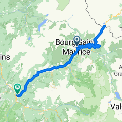
Francia Alpok 03 vándor
- 97.4 km
- 2,310 m
- 1,645 m
- Bourg-Saint-Maurice, Auvergne-Rhône-Alpes, France
A cycling route starting in Bourg-Saint-Maurice, Auvergne-Rhône-Alpes, France.
Overview
Great unpaved climb to 2460 metres. Lower first 12 kilometres are paved. See icons on map.
created this 8 years ago
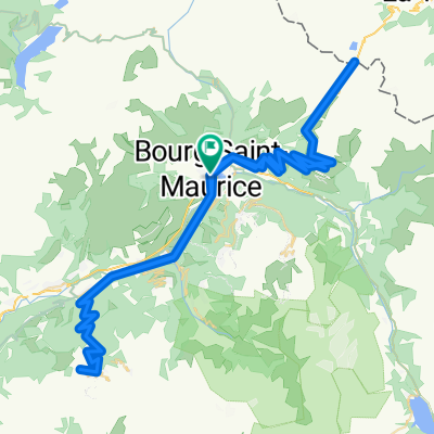
Route highlights
End of paved road
Turn off for the start of gravel
Great hairpins!
Col de la Chal
Continue with Bikemap
You would like to ride Col de la Chal or customize it for your own trip? Here is what you can do with this Bikemap route:
Free trial for 3 days, or one-time payment. More about Bikemap Premium.
Discover more Premium features.
Get Bikemap PremiumFrom our community
Open it in the app