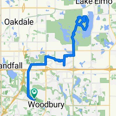
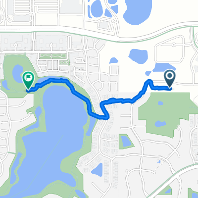
B2B00288 55125>55344 via Mndt Hght Rd, 494, 86th St
A cycling route starting in Woodbury, Minnesota, United States of America.
Overview
About this route
- -:--
- Duration
- 46.8 km
- Distance
- 248 m
- Ascent
- 283 m
- Descent
- ---
- Avg. speed
- 305 m
- Avg. speed
Route quality
Waytypes & surfaces along the route
Waytypes
Road
23.5 km
(50 %)
Cycleway
8.4 km
(18 %)
Surfaces
Paved
18.4 km
(39 %)
Asphalt
11.8 km
(25 %)
Paved (undefined)
4.9 km
(11 %)
Route highlights
Points of interest along the route
Point of interest after 6 km
This bike crossing has been frequently closed by road construction this season. Check DOT Web Sites.
Point of interest after 23.7 km
Merge to Big Rivers Trail, southbund
Point of interest after 42.1 km
This is a bike path, not a road as this Goggle map shows
Continue with Bikemap
Use, edit, or download this cycling route
You would like to ride B2B00288 55125>55344 via Mndt Hght Rd, 494, 86th St or customize it for your own trip? Here is what you can do with this Bikemap route:
Free features
- Save this route as favorite or in collections
- Copy & plan your own version of this route
- Sync your route with Garmin or Wahoo
Premium features
Free trial for 3 days, or one-time payment. More about Bikemap Premium.
- Navigate this route on iOS & Android
- Export a GPX / KML file of this route
- Create your custom printout (try it for free)
- Download this route for offline navigation
Discover more Premium features.
Get Bikemap PremiumFrom our community
Other popular routes starting in Woodbury
- IronMAN Relay Route
- Distance
- 36.2 km
- Ascent
- 190 m
- Descent
- 190 m
- Location
- Woodbury, Minnesota, United States of America
- Slow ride in Woodbury
- Distance
- 7.8 km
- Ascent
- 101 m
- Descent
- 106 m
- Location
- Woodbury, Minnesota, United States of America
- 1208 St Johns Dr, Woodbury to 1208 St Johns Dr, Woodbury
- Distance
- 8 km
- Ascent
- 26 m
- Descent
- 28 m
- Location
- Woodbury, Minnesota, United States of America
- B2B00248 55125>55112 viaRadio/Inwood/Ideal/OlsonLk/Demontr/WarnerRd/Lake/BaldEag/H2/Centv/CtyJ
- Distance
- 43.7 km
- Ascent
- 134 m
- Descent
- 164 m
- Location
- Woodbury, Minnesota, United States of America
- 10870 Ashley Ln, Woodbury to 10869 Ashley Ln, Woodbury
- Distance
- 28.9 km
- Ascent
- 178 m
- Descent
- 177 m
- Location
- Woodbury, Minnesota, United States of America
- Neighborhood loop
- Distance
- 19.5 km
- Ascent
- 114 m
- Descent
- 113 m
- Location
- Woodbury, Minnesota, United States of America
- B2B00770 55125>55101 via Upper Afton Rd, E 6th St
- Distance
- 15.6 km
- Ascent
- 81 m
- Descent
- 158 m
- Location
- Woodbury, Minnesota, United States of America
- Lake Elmo Ride
- Distance
- 24.1 km
- Ascent
- 113 m
- Descent
- 113 m
- Location
- Woodbury, Minnesota, United States of America
Open it in the app