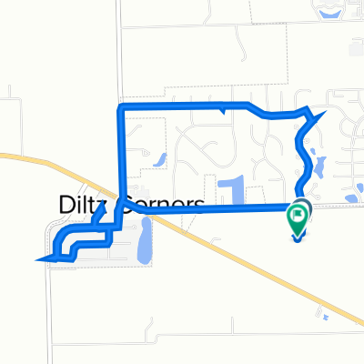
test 1
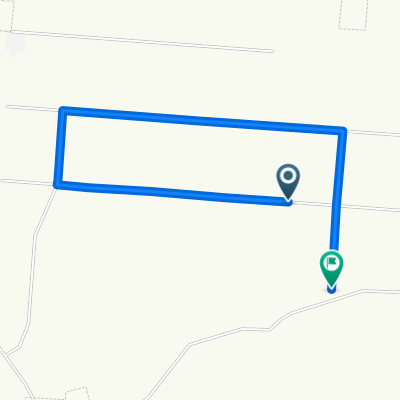
- 19.1 km
- 726 m
- 723 m
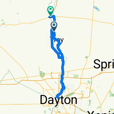
- Troy, Ohio, United States
Former Crankenstein 100 mile 3 rider Team TT Now 50 mile Can also do individual loops if desired.
Road
19.2 km79 %Quiet road
1.2 km5 %Free trial for 3 days, or one-time payment. More about Bikemap Premium.
Discover more Premium features.
Get Bikemap PremiumOpen it in the app