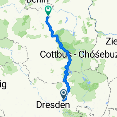
From Kamenz to Königs Wusterhausen
- 199.4 km
- 711 m
- 927 m
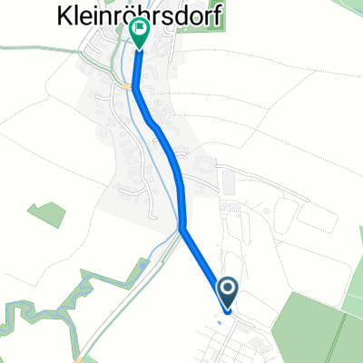
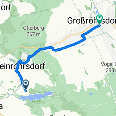
- Arnsdorf, Saxony, Germany
A cycling route starting in Arnsdorf, Saxony, Germany.
Overview
Free and large parking in Arnsdorf and a beautiful route to work to Dresden.
Route quality
Track
16.3 km
(39 %)
Path
8 km
(19 %)
Paved
14.7 km
(35 %)
Unpaved
18 km
(43 %)
Asphalt
13.4 km
(32 %)
Gravel
10.5 km
(25 %)
Continue with Bikemap
You would like to ride Arnsdorf - Hofewiese - Marienallee or customize it for your own trip? Here is what you can do with this Bikemap route:
Free trial for 3 days, or one-time payment. More about Bikemap Premium.
Discover more Premium features.
Get Bikemap PremiumFrom our community
Open it in the app