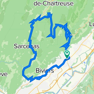
les petites roches JC
- 35.8 km
- 944 m
- 944 m
- Saint-Nazaire-les-Eymes, Auvergne-Rhône-Alpes, France
A cycling route starting in Saint-Nazaire-les-Eymes, Auvergne-Rhône-Alpes, France.
Overview
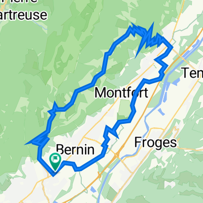
LINK GRENOBLE-VALENCE THROUGH THE GORGES DE NAN
created this 8 years ago
Route quality
Cycleway
65 km
(42 %)
Road
34.1 km
(22 %)
Paved
89.8 km
(58 %)
Unpaved
7.7 km
(5 %)
Asphalt
89.8 km
(58 %)
Gravel
6.2 km
(4 %)
Continue with Bikemap
You would like to ride ENLACE GRENOBLE-VALENCE POR LAS GORGES DE NAN or customize it for your own trip? Here is what you can do with this Bikemap route:
Free trial for 3 days, or one-time payment. More about Bikemap Premium.
Discover more Premium features.
Get Bikemap PremiumFrom our community
Open it in the app