

Variációk pihenőnapra
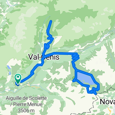
- 112.2 km
- 2,486 m
- 2,484 m
- Modane, Auvergne-Rhône-Alpes, France
A cycling route starting in Modane, Auvergne-Rhône-Alpes, France.
Overview
Amazing Gravel climb. Completely rideable until Col de l'Arella - 2685 metres
created this 8 years ago
Route highlights
Col de Sollières - 2639 metres
Col de l'Arella - 2685 metres
Mont Froid - fort atop
Col du Petit Mont Cenis
Col du Mont Cenis
Continue with Bikemap
You would like to ride Mont Froid (2822 metres) via Col de Sollières or customize it for your own trip? Here is what you can do with this Bikemap route:
Free trial for 3 days, or one-time payment. More about Bikemap Premium.
Discover more Premium features.
Get Bikemap PremiumFrom our community
Open it in the app


