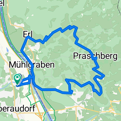
Erlerberg Trockental
- 37.5 km
- 1,186 m
- 1,186 m
- Oberaudorf, Bavaria, Germany
A cycling route starting in Oberaudorf, Bavaria, Germany.
Overview
60 km 1100 m elevation
created this 8 years ago
Route quality
Road
11.8 km
(20 %)
Quiet road
8.2 km
(14 %)
Paved
46.5 km
(79 %)
Unpaved
7.1 km
(12 %)
Asphalt
46.5 km
(79 %)
Gravel
4.1 km
(7 %)
Continue with Bikemap
You would like to ride oberauendorf kurz or customize it for your own trip? Here is what you can do with this Bikemap route:
Free trial for 3 days, or one-time payment. More about Bikemap Premium.
Discover more Premium features.
Get Bikemap PremiumFrom our community
Open it in the app