Krk100
- 104.1 km
- 1,303 m
- 1,301 m
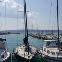
- Crikvenica, Primorje-Gorski Kotar County, Croatia
A cycling route starting in Crikvenica, Primorje-Gorski Kotar County, Croatia.
Overview
created this 8 years ago


Route quality
Quiet road
11.3 km
22 %
Road
1.5 km
3 %
Paved
45.6 km
(89 %)
Unpaved
0.5 km
(1 %)
Asphalt
45.6 km
89 %
Unpaved (undefined)
0.5 km
1 %
Undefined
5.1 km
10 %
Route highlights
Continue with Bikemap
You would like to ride crikvenica Rundtour or customize it for your own trip? Here is what you can do with this Bikemap route:
Free trial for 3 days, or one-time payment. More about Bikemap Premium.
Discover more Premium features.
Get Bikemap PremiumFrom our community
Open it in the app