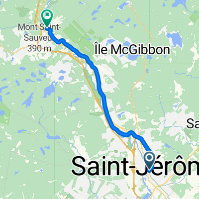
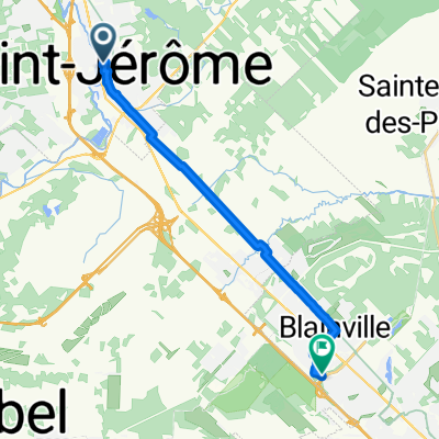
Corridor Aerobic - overnight ride
A cycling route starting in Saint-J茅r么me, Quebec, Canada.
Overview
About this route
Ancien chemin de fer - gravier - roue de 28mm minimum
- -:--
- Duration
- 108.4 km
- Distance
- 650 m
- Ascent
- 644 m
- Descent
- ---
- Avg. speed
- ---
- Max. altitude
Route quality
Waytypes & surfaces along the route
Waytypes
Road
44.5 km
(41 %)
Cycleway
28.2 km
(26 %)
Surfaces
Paved
67.2 km
(62 %)
Unpaved
35.8 km
(33 %)
Asphalt
53.1 km
(49 %)
Gravel
26 km
(24 %)
Route highlights
Points of interest along the route
Point of interest after 49.6 km
Camping sauvage
Point of interest after 53.7 km
Ferry fonctionnel la fin de semaine entre le nord et sud
Point of interest after 53.7 km
Casse Croute : a partir de 11h Depanneur - mini epicerie (quelques vandes et legumes)
Point of interest after 74.6 km
Epicerie IGA - Banque - pharmacie
Continue with Bikemap
Use, edit, or download this cycling route
You would like to ride Corridor Aerobic - overnight ride or customize it for your own trip? Here is what you can do with this Bikemap route:
Free features
- Save this route as favorite or in collections
- Copy & plan your own version of this route
- Split it into stages to create a multi-day tour
- Sync your route with Garmin or Wahoo
Premium features
Free trial for 3 days, or one-time payment. More about Bikemap Premium.
- Navigate this route on iOS & Android
- Export a GPX / KML file of this route
- Create your custom printout (try it for free)
- Download this route for offline navigation
Discover more Premium features.
Get Bikemap PremiumFrom our community
Other popular routes starting in Saint-J茅r么me
Saint-Jerome_Saint-Adolphe-d"Howard- Distance
- 106.5 km
- Ascent
- 715 m
- Descent
- 715 m
- Location
- Saint-J茅r么me, Quebec, Canada
Itin茅raire mod茅r茅 en Saint-J茅r么me- Distance
- 14.2 km
- Ascent
- 110 m
- Descent
- 10 m
- Location
- Saint-J茅r么me, Quebec, Canada
Lac echo 32 km- Distance
- 34.8 km
- Ascent
- 281 m
- Descent
- 272 m
- Location
- Saint-J茅r么me, Quebec, Canada
CAE-st-jerome_st-sophie- Distance
- 63.4 km
- Ascent
- 190 m
- Descent
- 153 m
- Location
- Saint-J茅r么me, Quebec, Canada
Boucle moyenne- Distance
- 71.3 km
- Ascent
- 276 m
- Descent
- 276 m
- Location
- Saint-J茅r么me, Quebec, Canada
Lac echo 48km- Distance
- 48 km
- Ascent
- 416 m
- Descent
- 416 m
- Location
- Saint-J茅r么me, Quebec, Canada
St-Jerome / St-Janvier- Distance
- 32.3 km
- Ascent
- 31 m
- Descent
- 60 m
- Location
- Saint-J茅r么me, Quebec, Canada
ptit du nord trail- Distance
- 197.4 km
- Ascent
- 509 m
- Descent
- 382 m
- Location
- Saint-J茅r么me, Quebec, Canada
Open it in the app

