Rutas especiales
Combinado Sur de Pontevedra - Portugal
A cycling route starting in Gondomar, Galicia, Spain.
Overview
About this route
Climbs, passes, flat stretches and descents.
Ascent to Faro Silleiro: 1.5 km at 7%
To Groba (2nd category climb) 11.5 km at 5.5%
Descent A Portela - Oia 5 km at -8%
Ascent Castro de Santa Tecla: 3.5 km at 8%
Monte do Faro: 7 km at 7%
Monte Aloia via Tui (2nd category climb) 7 km at 8%
Descent Aloia - Gondomar 7.5 km at -5%
- -:--
- Duration
- 135.3 km
- Distance
- 1,953 m
- Ascent
- 1,951 m
- Descent
- ---
- Avg. speed
- ---
- Max. altitude
Part of
Rutas especiales
2 stages
Route photos
Route quality
Waytypes & surfaces along the route
Waytypes
Quiet road
58.2 km
(43 %)
Road
32.5 km
(24 %)
Surfaces
Paved
35.2 km
(26 %)
Unpaved
2.7 km
(2 %)
Asphalt
29.8 km
(22 %)
Paved (undefined)
5.4 km
(4 %)
Route highlights
Points of interest along the route

Point of interest after 14.8 km
Cabo Silleiro

Point of interest after 32.1 km
Cima de A Groba

Point of interest after 35.5 km
Altos de Torroña

Point of interest after 45.2 km
Descenso de A Portela - Oia

Point of interest after 51.1 km
Oia - A Guarda

Point of interest after 58.8 km
Monte Santa Tecla
Continue with Bikemap
Use, edit, or download this cycling route
You would like to ride Combinado Sur de Pontevedra - Portugal or customize it for your own trip? Here is what you can do with this Bikemap route:
Free features
- Save this route as favorite or in collections
- Copy & plan your own version of this route
- Split it into stages to create a multi-day tour
- Sync your route with Garmin or Wahoo
Premium features
Free trial for 3 days, or one-time payment. More about Bikemap Premium.
- Navigate this route on iOS & Android
- Export a GPX / KML file of this route
- Create your custom printout (try it for free)
- Download this route for offline navigation
Discover more Premium features.
Get Bikemap PremiumFrom our community
Other popular routes starting in Gondomar
De Igrexa 10, Gondomar a Rúa San Sebastián 7, O Porriño- Distance
- 22.8 km
- Ascent
- 395 m
- Descent
- 468 m
- Location
- Gondomar, Galicia, Spain
Marcha Gondomar 2012- Distance
- 96.8 km
- Ascent
- 1,083 m
- Descent
- 1,083 m
- Location
- Gondomar, Galicia, Spain
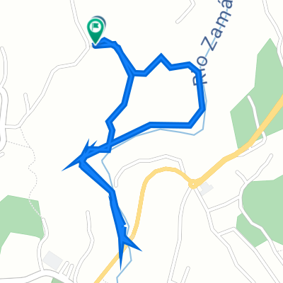
Alto do Tebra dende Gondomar- Distance
- 17.8 km
- Ascent
- 347 m
- Descent
- 346 m
- Location
- Gondomar, Galicia, Spain
Curro Morgadanes - Zamanes- Distance
- 30.1 km
- Ascent
- 516 m
- Descent
- 516 m
- Location
- Gondomar, Galicia, Spain
galiñeiro- Distance
- 2.1 km
- Ascent
- 197 m
- Descent
- 4 m
- Location
- Gondomar, Galicia, Spain
Subida Monte Aloia dende Gondomar II Marcha Oiense- Distance
- 12.7 km
- Ascent
- 640 m
- Descent
- 98 m
- Location
- Gondomar, Galicia, Spain
Mirador do Monte Cepudo hasta Plaza España, Vigo.- Distance
- 11.7 km
- Ascent
- 80 m
- Descent
- 501 m
- Location
- Gondomar, Galicia, Spain
Gondomar- Distance
- 33.4 km
- Ascent
- 781 m
- Descent
- 773 m
- Location
- Gondomar, Galicia, Spain
Open it in the app


