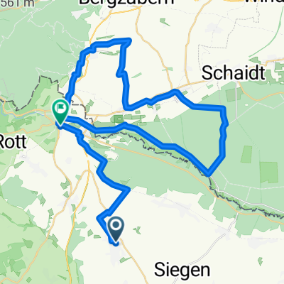
Corny's Elsaßrunde
A cycling route starting in Wissembourg, Grand Est, France.
Overview
About this route
Before Schleithal parking lot, a nice initial stretch to warm up and a challenging middle section over two Cols. Then cool down and sip a Panachè. Indeed, 73
- -:--
- Duration
- 69.6 km
- Distance
- 651 m
- Ascent
- 651 m
- Descent
- ---
- Avg. speed
- ---
- Max. altitude
Continue with Bikemap
Use, edit, or download this cycling route
You would like to ride Corny's Elsaßrunde or customize it for your own trip? Here is what you can do with this Bikemap route:
Free features
- Save this route as favorite or in collections
- Copy & plan your own version of this route
- Sync your route with Garmin or Wahoo
Premium features
Free trial for 3 days, or one-time payment. More about Bikemap Premium.
- Navigate this route on iOS & Android
- Export a GPX / KML file of this route
- Create your custom printout (try it for free)
- Download this route for offline navigation
Discover more Premium features.
Get Bikemap PremiumFrom our community
Other popular routes starting in Wissembourg
Corny's Elsaßrunde- Distance
- 69.6 km
- Ascent
- 651 m
- Descent
- 651 m
- Location
- Wissembourg, Grand Est, France
090927- Distance
- 73.6 km
- Ascent
- 971 m
- Descent
- 1,145 m
- Location
- Wissembourg, Grand Est, France
boucle gare wissembourg 36km- Distance
- 44.6 km
- Ascent
- 240 m
- Descent
- 242 m
- Location
- Wissembourg, Grand Est, France
Seebach Seltz retour- Distance
- 43 km
- Ascent
- 264 m
- Descent
- 261 m
- Location
- Wissembourg, Grand Est, France
Impasse des Violettes 12, Oberhoffen-lès-Wissembourg nach Route sans nom, Rott- Distance
- 1.7 km
- Ascent
- 24 m
- Descent
- 8 m
- Location
- Wissembourg, Grand Est, France
8 Route des Vosges, Cleebourg nach 54 Rue Principale, Hunspach- Distance
- 9.2 km
- Ascent
- 163 m
- Descent
- 247 m
- Location
- Wissembourg, Grand Est, France
2Elsass- Distance
- 49.4 km
- Ascent
- 437 m
- Descent
- 441 m
- Location
- Wissembourg, Grand Est, France
boucle Seebach Wiiss retour par trimbach- Distance
- 40.3 km
- Ascent
- 225 m
- Descent
- 224 m
- Location
- Wissembourg, Grand Est, France
Open it in the app

