

test
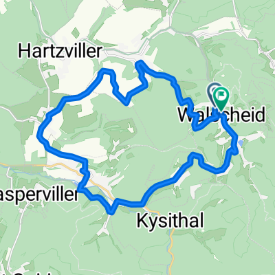
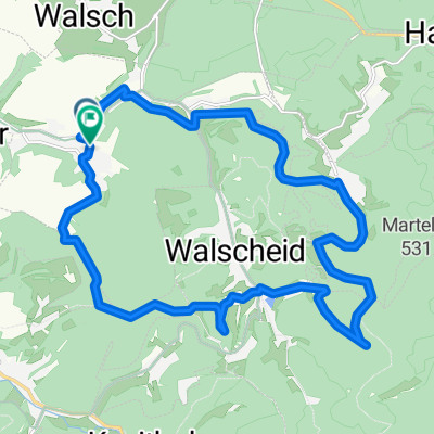
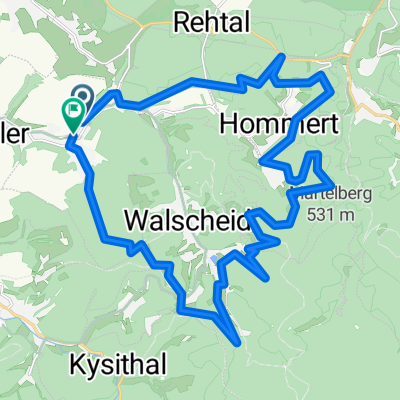
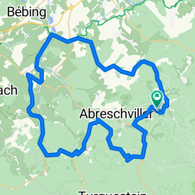
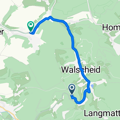
A cycling route starting in Walscheid, Grand Est, France.
Overview
About this route
- -:--
- Duration
- 73.6 km
- Distance
- 1,637 m
- Ascent
- 1,621 m
- Descent
- ---
- Avg. speed
- ---
- Max. altitude

Route quality
Waytypes & surfaces along the route
Waytypes
Track
45.7 km
(62 %)
Quiet road
19.9 km
(27 %)
Surfaces
Paved
22.8 km
(31 %)
Unpaved
30.9 km
(42 %)
Asphalt
20.6 km
(28 %)
Gravel
19.9 km
(27 %)
Continue with Bikemap
Use, edit, or download this cycling route
You would like to ride test or customize it for your own trip? Here is what you can do with this Bikemap route:
Free features
- Save this route as favorite or in collections
- Copy & plan your own version of this route
- Sync your route with Garmin or Wahoo
Premium features
Free trial for 3 days, or one-time payment. More about Bikemap Premium.
- Navigate this route on iOS & Android
- Export a GPX / KML file of this route
- Create your custom printout (try it for free)
- Download this route for offline navigation
Discover more Premium features.
Get Bikemap PremiumFrom our community
Other popular routes starting in Walscheid
 De Rue Saint-Nicolas à Rue Saint-Nicolas
- Distance
- 21.4 km
- Ascent
- 464 m
- Descent
- 512 m
- Location
- Walscheid, Grand Est, France
 De Rue de la Libération A à Rue de la Libération a
- Distance
- 20.6 km
- Ascent
- 586 m
- Descent
- 616 m
- Location
- Walscheid, Grand Est, France
 Vogesen Tour
- Distance
- 120.6 km
- Ascent
- 1,319 m
- Descent
- 1,319 m
- Location
- Walscheid, Grand Est, France
 De Rue du Stade à Rue du Stade
- Distance
- 30.6 km
- Ascent
- 938 m
- Descent
- 956 m
- Location
- Walscheid, Grand Est, France
 De Saint-Léon à Munichshof
- Distance
- 53.3 km
- Ascent
- 722 m
- Descent
- 707 m
- Location
- Walscheid, Grand Est, France
 De Munichshof à Rue de la Vallée
- Distance
- 8.1 km
- Ascent
- 75 m
- Descent
- 224 m
- Location
- Walscheid, Grand Est, France
 De Munichshof à Munichshof
- Distance
- 45.5 km
- Ascent
- 1,027 m
- Descent
- 1,065 m
- Location
- Walscheid, Grand Est, France
 >Rundkurs über den Col du Donon
- Distance
- 60.1 km
- Ascent
- 925 m
- Descent
- 925 m
- Location
- Walscheid, Grand Est, France
Open it in the app