Farma pod Poľanou 01
- 17.3 km
- 429 m
- 436 m
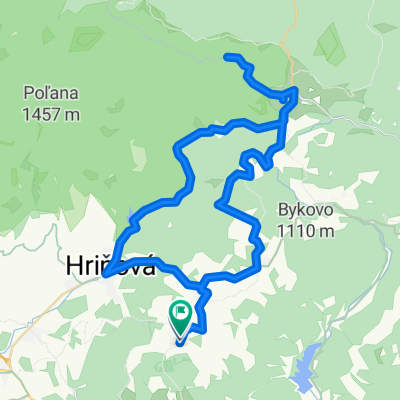
- Hriňová, Banská Bystrica Region, Slovakia
A cycling route starting in Hriňová, Banská Bystrica Region, Slovakia.
Overview
Climb on a reinforced, reconstructed road / 2017 / in a very steep section, through hairpin bends on the hill Vrchdobroč / 918 m above sea level /. This is followed by an 8 km long descent through meadows along the settlement of Žihľava, through the gorge of the Winter Stream to the settlement of Hrnčiarky and then to Kotmanova. The forest road through the gorge was only recently made passable by loggers / removing invasive trees /. A moderately difficult trail. In the upper part, you can admire cascades of the stream formed by water flowing over large boulders. However, there must be enough water flowing. The stream has to be crossed several times. Be careful, at Žihľava there is a ridden path leading straight into the farmers' courtyard! You need to turn right from it and 'search' for the forest road located about 100 m below the houses.
created this 8 years ago
Continue with Bikemap
You would like to ride Trail cez roklinu Zimného potoka or customize it for your own trip? Here is what you can do with this Bikemap route:
Free trial for 3 days, or one-time payment. More about Bikemap Premium.
Discover more Premium features.
Get Bikemap PremiumFrom our community
Open it in the app