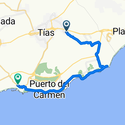
ide asamada
- 52.9 km
- 765 m
- 765 m
- Tías, Canary Islands, Spain
A cycling route starting in Tías, Canary Islands, Spain.
Overview
2018.01.03.
Mátészalka-Ferihegy 5:20-9:14 (Kraszna IC)
Budapest-Lanzarote 12:55-17:05 (WIZZ air)
Accommodation: Mancha Blanca
created this 8 years ago
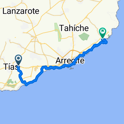
Route quality
Quiet road
6.1 km
(30 %)
Road
3.7 km
(18 %)
Paved
9.6 km
(47 %)
Unpaved
1 km
(5 %)
Asphalt
9.6 km
(47 %)
Gravel
0.8 km
(4 %)
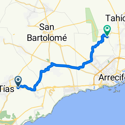
Continue with Bikemap
You would like to ride Kanári szigetek 1. nap or customize it for your own trip? Here is what you can do with this Bikemap route:
Free trial for 3 days, or one-time payment. More about Bikemap Premium.
Discover more Premium features.
Get Bikemap PremiumFrom our community
Open it in the app