
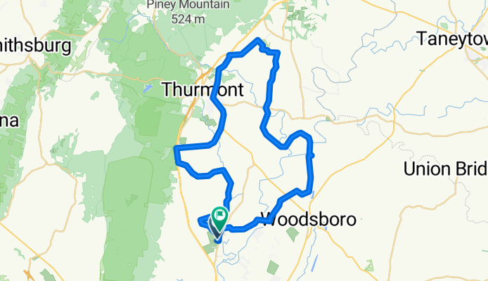
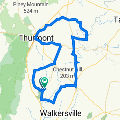
Covered Bridge Ride
A cycling route starting in Walkersville, Maryland, United States of America.
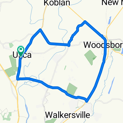
Overview
About this route
- -:--
- Duration
- 54.1 km
- Distance
- 311 m
- Ascent
- 311 m
- Descent
- ---
- Avg. speed
- ---
- Max. altitude

Route quality
Waytypes & surfaces along the route
Waytypes
Road
32.3 km
(60 %)
Busy road
13 km
(24 %)
Surfaces
Paved
16.2 km
(30 %)
Asphalt
16 km
(29 %)
Wood
0.2 km
(<1 %)
Undefined
37.9 km
(70 %)
Continue with Bikemap
Use, edit, or download this cycling route
You would like to ride Covered Bridge Ride or customize it for your own trip? Here is what you can do with this Bikemap route:
Free features
- Save this route as favorite or in collections
- Copy & plan your own version of this route
- Sync your route with Garmin or Wahoo
Premium features
Free trial for 3 days, or one-time payment. More about Bikemap Premium.
- Navigate this route on iOS & Android
- Export a GPX / KML file of this route
- Create your custom printout (try it for free)
- Download this route for offline navigation
Discover more Premium features.
Get Bikemap PremiumFrom our community
Other popular routes starting in Walkersville
 Easy ride in Frederick
- Distance
- 13.3 km
- Ascent
- 235 m
- Descent
- 215 m
- Location
- Walkersville, Maryland, United States of America
 Memorial Day 22 miler
- Distance
- 35.4 km
- Ascent
- 218 m
- Descent
- 218 m
- Location
- Walkersville, Maryland, United States of America
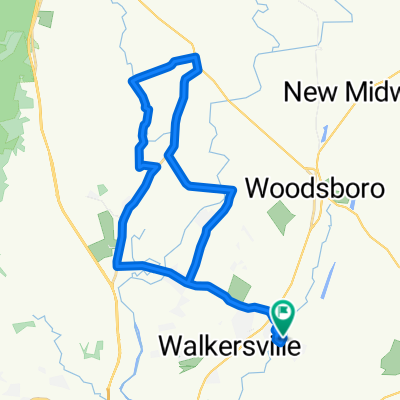
 Cunningham 3?
- Distance
- 66.8 km
- Ascent
- 387 m
- Descent
- 387 m
- Location
- Walkersville, Maryland, United States of America
 Covered Bridge Ride
- Distance
- 54.1 km
- Ascent
- 311 m
- Descent
- 311 m
- Location
- Walkersville, Maryland, United States of America
 Crazy 8 Food and beer run
- Distance
- 40 km
- Ascent
- 268 m
- Descent
- 268 m
- Location
- Walkersville, Maryland, United States of America
 Utica Park North Loop
- Distance
- 64.4 km
- Ascent
- 589 m
- Descent
- 581 m
- Location
- Walkersville, Maryland, United States of America
 Friday Fun
- Distance
- 92.9 km
- Ascent
- 911 m
- Descent
- 912 m
- Location
- Walkersville, Maryland, United States of America
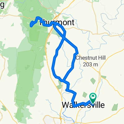
 Utica - Woodsboro
- Distance
- 23.9 km
- Ascent
- 143 m
- Descent
- 147 m
- Location
- Walkersville, Maryland, United States of America
Open it in the app