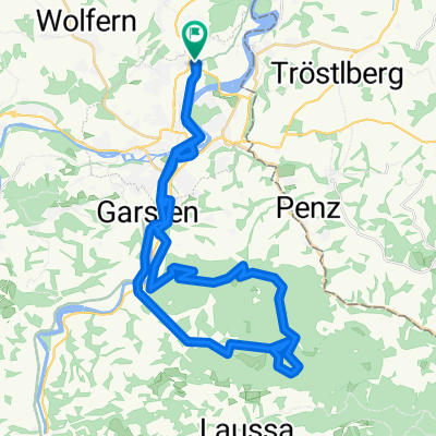
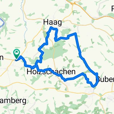
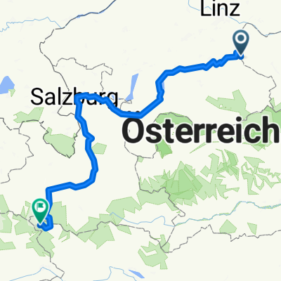
Steyr-Trattenbach-Schoberstein-Steyrtal
A cycling route starting in Haidershofen, Lower Austria, Austria.
Overview
About this route
a bit hilly ... otherwise okay ... it's a lot of fun ...
- -:--
- Duration
- 71 km
- Distance
- 1,101 m
- Ascent
- 1,100 m
- Descent
- ---
- Avg. speed
- ---
- Max. altitude
Route quality
Waytypes & surfaces along the route
Waytypes
Road
25.6 km
(36 %)
Track
20.6 km
(29 %)
Surfaces
Paved
26.3 km
(37 %)
Unpaved
21.3 km
(30 %)
Asphalt
24.8 km
(35 %)
Gravel
20.6 km
(29 %)
Continue with Bikemap
Use, edit, or download this cycling route
You would like to ride Steyr-Trattenbach-Schoberstein-Steyrtal or customize it for your own trip? Here is what you can do with this Bikemap route:
Free features
- Save this route as favorite or in collections
- Copy & plan your own version of this route
- Sync your route with Garmin or Wahoo
Premium features
Free trial for 3 days, or one-time payment. More about Bikemap Premium.
- Navigate this route on iOS & Android
- Export a GPX / KML file of this route
- Create your custom printout (try it for free)
- Download this route for offline navigation
Discover more Premium features.
Get Bikemap PremiumFrom our community
Other popular routes starting in Haidershofen
Ernsthofen - St. Valentin - Ennsdorf- Distance
- 46.1 km
- Ascent
- 850 m
- Descent
- 850 m
- Location
- Haidershofen, Lower Austria, Austria
Radrunde durch Haidershofen- Distance
- 14.1 km
- Ascent
- 128 m
- Descent
- 129 m
- Location
- Haidershofen, Lower Austria, Austria
Sträußl - Kürnberg - Spadenberg - Damberg - Behamberg- Distance
- 70 km
- Ascent
- 1,449 m
- Descent
- 1,449 m
- Location
- Haidershofen, Lower Austria, Austria
Dietach - Kürnbergrunde- Distance
- 50.2 km
- Ascent
- 886 m
- Descent
- 825 m
- Location
- Haidershofen, Lower Austria, Austria
Standardrunde Damberg- Distance
- 28.6 km
- Ascent
- 762 m
- Descent
- 577 m
- Location
- Haidershofen, Lower Austria, Austria
Überlandpartie-Ost- Distance
- 32.3 km
- Ascent
- 327 m
- Descent
- 330 m
- Location
- Haidershofen, Lower Austria, Austria
Testrunde- Distance
- 21.8 km
- Ascent
- 245 m
- Descent
- 238 m
- Location
- Haidershofen, Lower Austria, Austria
Dietach Sonnberg- Distance
- 46.6 km
- Ascent
- 853 m
- Descent
- 850 m
- Location
- Haidershofen, Lower Austria, Austria
Open it in the app


