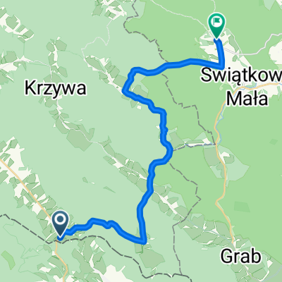
Wycieczka - rozgrzewka ;)
- 10.3 km
- 232 m
- 210 m
- Krempna, Subcarpathian Voivodeship, Poland
A cycling route starting in Krempna, Subcarpathian Voivodeship, Poland.
Overview
Terrain: 3.2 km Nieznajowa
14.2 km Magura
6.3 km descent from Magura
1 km Chotowa
created this 8 years ago
Route highlights

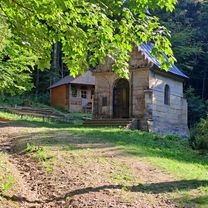
Nieznajowa o poranku
Wątkowa 846 m. n.p.m.
Continue with Bikemap
You would like to ride Magurska Odznaka Terenowa dzień 2 or customize it for your own trip? Here is what you can do with this Bikemap route:
Free trial for 3 days, or one-time payment. More about Bikemap Premium.
Discover more Premium features.
Get Bikemap PremiumFrom our community
Open it in the app