

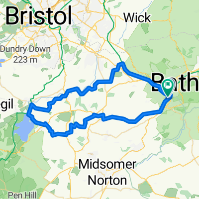
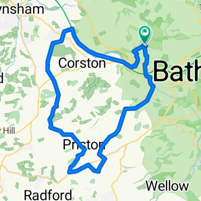
201709 Bath
A cycling route starting in Bath, England, United Kingdom.
Overview
About this route
- 4 h 47 min
- Duration
- 13.4 km
- Distance
- 254 m
- Ascent
- 252 m
- Descent
- 2.8 km/h
- Avg. speed
- ---
- Max. altitude

Continue with Bikemap
Use, edit, or download this cycling route
You would like to ride 201709 Bath or customize it for your own trip? Here is what you can do with this Bikemap route:
Free features
- Save this route as favorite or in collections
- Copy & plan your own version of this route
- Sync your route with Garmin or Wahoo
Premium features
Free trial for 3 days, or one-time payment. More about Bikemap Premium.
- Navigate this route on iOS & Android
- Export a GPX / KML file of this route
- Create your custom printout (try it for free)
- Download this route for offline navigation
Discover more Premium features.
Get Bikemap PremiumFrom our community
Other popular routes starting in Bath
 Westgate Street 36-37 to Campion Way
- Distance
- 131.6 km
- Ascent
- 1,243 m
- Descent
- 1,207 m
- Location
- Bath, England, United Kingdom
 Bath - Street
- Distance
- 66.6 km
- Ascent
- 598 m
- Descent
- 586 m
- Location
- Bath, England, United Kingdom
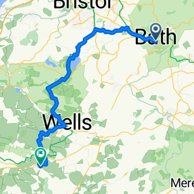
 bath spa to Limpley Stoke
- Distance
- 9.3 km
- Ascent
- 222 m
- Descent
- 202 m
- Location
- Bath, England, United Kingdom
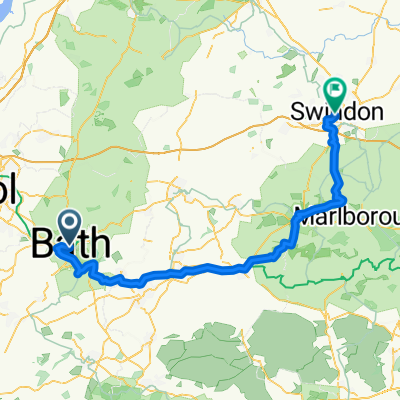 George Street nach Farnsby Street
- Distance
- 77.7 km
- Ascent
- 719 m
- Descent
- 660 m
- Location
- Bath, England, United Kingdom
 William Street to Minster Way
- Distance
- 94 km
- Ascent
- 997 m
- Descent
- 949 m
- Location
- Bath, England, United Kingdom
 Bath Cycling
- Distance
- 51.2 km
- Ascent
- 593 m
- Descent
- 587 m
- Location
- Bath, England, United Kingdom
 Bath 008
- Distance
- 92.5 km
- Ascent
- 425 m
- Descent
- 432 m
- Location
- Bath, England, United Kingdom
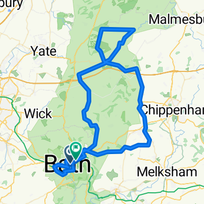
 Tunley loop
- Distance
- 30.5 km
- Ascent
- 434 m
- Descent
- 436 m
- Location
- Bath, England, United Kingdom
Open it in the app