

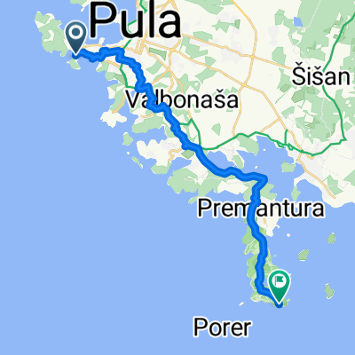
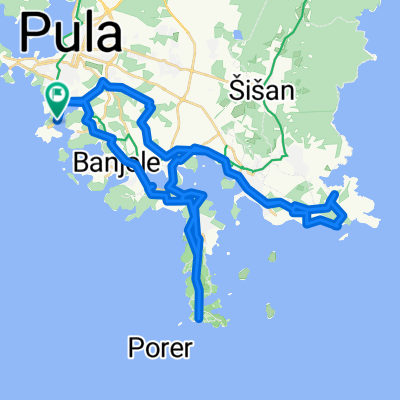
kamenjak by E 50
A cycling route starting in Pula, Istria County, Croatia.
Overview
About this route
- 3 h 34 min
- Duration
- 33.7 km
- Distance
- 318 m
- Ascent
- 329 m
- Descent
- 9.5 km/h
- Avg. speed
- ---
- Max. altitude

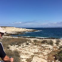
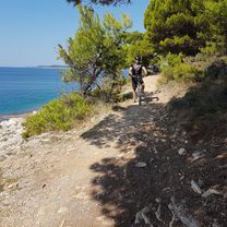
Route photos


Continue with Bikemap
Use, edit, or download this cycling route
You would like to ride kamenjak by E 50 or customize it for your own trip? Here is what you can do with this Bikemap route:
Free features
- Save this route as favorite or in collections
- Copy & plan your own version of this route
- Sync your route with Garmin or Wahoo
Premium features
Free trial for 3 days, or one-time payment. More about Bikemap Premium.
- Navigate this route on iOS & Android
- Export a GPX / KML file of this route
- Create your custom printout (try it for free)
- Download this route for offline navigation
Discover more Premium features.
Get Bikemap PremiumFrom our community
Other popular routes starting in Pula
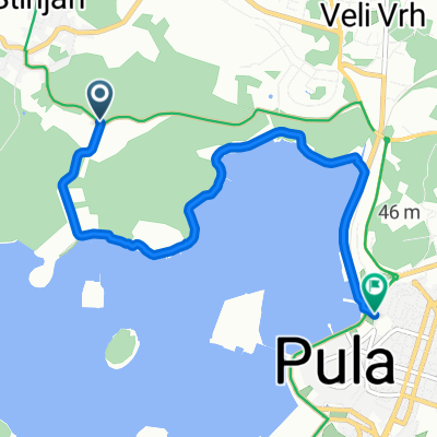
 Ulica Stoja, Pula nach Premantura
- Distance
- 19.9 km
- Ascent
- 308 m
- Descent
- 309 m
- Location
- Pula, Istria County, Croatia
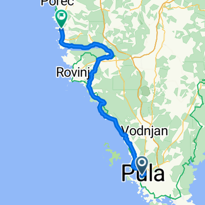
 Stinjan-Rovinj
- Distance
- 76.7 km
- Ascent
- 379 m
- Descent
- 352 m
- Location
- Pula, Istria County, Croatia
 From Pula to Funtana
- Distance
- 61.2 km
- Ascent
- 742 m
- Descent
- 724 m
- Location
- Pula, Istria County, Croatia
 Variante entlang der Küste
- Distance
- 5.2 km
- Ascent
- 29 m
- Descent
- 53 m
- Location
- Pula, Istria County, Croatia
 kamenjak by E 50
- Distance
- 33.7 km
- Ascent
- 318 m
- Descent
- 329 m
- Location
- Pula, Istria County, Croatia
 From Pula to Medulin
- Distance
- 51.4 km
- Ascent
- 668 m
- Descent
- 666 m
- Location
- Pula, Istria County, Croatia
 kanal Budava CLONED FROM ROUTE 825562 CLONED FROM ROUTE 954782
- Distance
- 38.3 km
- Ascent
- 256 m
- Descent
- 258 m
- Location
- Pula, Istria County, Croatia
 Kamenuka
- Distance
- 39 km
- Ascent
- 254 m
- Descent
- 252 m
- Location
- Pula, Istria County, Croatia
Open it in the app