B3-Tour
A cycling route starting in Zalaegerszeg, Zala County, Hungary.
Overview
About this route
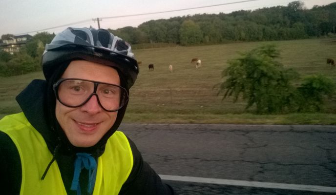
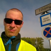
A 2017-es, 3. Balaton-körút megvalósulása. Fonyódnál lemerült a telefon, de onnan a hazavezető utat már be tudtam jelölni. Nagykapornak és a keményebb északi part nélkül, de cserébe Tihannyal és majdnem 20 km-rel hosszabb úton.
Statisztikák a kommentekben. Time: 22:10
- 12 h 12 min
- Duration
- 324.9 km
- Distance
- 368 m
- Ascent
- 368 m
- Descent
- 26.6 km/h
- Avg. speed
- ---
- Max. altitude
Route photos
Route quality
Waytypes & surfaces along the route
Waytypes
Quiet road
87.7 km
(27 %)
Cycleway
81.2 km
(25 %)
Surfaces
Paved
269.7 km
(83 %)
Unpaved
9.7 km
(3 %)
Asphalt
263.2 km
(81 %)
Concrete
6.5 km
(2 %)
Continue with Bikemap
Use, edit, or download this cycling route
You would like to ride B3-Tour or customize it for your own trip? Here is what you can do with this Bikemap route:
Free features
- Save this route as favorite or in collections
- Copy & plan your own version of this route
- Split it into stages to create a multi-day tour
- Sync your route with Garmin or Wahoo
Premium features
Free trial for 3 days, or one-time payment. More about Bikemap Premium.
- Navigate this route on iOS & Android
- Export a GPX / KML file of this route
- Create your custom printout (try it for free)
- Download this route for offline navigation
Discover more Premium features.
Get Bikemap PremiumFrom our community
Other popular routes starting in Zalaegerszeg
 Húsvéti medvehagyma túra
- Distance
- 16.5 km
- Ascent
- 84 m
- Descent
- 85 m
- Location
- Zalaegerszeg, Zala County, Hungary
 Medvehagyma túra terepen Göcseji út - Csurgó kút - Pózva
- Distance
- 20.7 km
- Ascent
- 122 m
- Descent
- 122 m
- Location
- Zalaegerszeg, Zala County, Hungary
 Zalaegerszeg (Ságod), termálfürdő - Zalaegerszeg (Ságod), termálfürdő
- Distance
- 15.7 km
- Ascent
- 115 m
- Descent
- 112 m
- Location
- Zalaegerszeg, Zala County, Hungary
 Zala töltés - Karácsony hegy - Botfa - Göcseji út
- Distance
- 24.5 km
- Ascent
- 212 m
- Descent
- 212 m
- Location
- Zalaegerszeg, Zala County, Hungary
 Őrségi kör
- Distance
- 85.5 km
- Ascent
- 312 m
- Descent
- 312 m
- Location
- Zalaegerszeg, Zala County, Hungary
 Hegyi maraton rövid táv
- Distance
- 10.4 km
- Ascent
- 213 m
- Descent
- 213 m
- Location
- Zalaegerszeg, Zala County, Hungary
 Zalaegerszeg - Zalaszentgyörgyi tó - Zalaegerszeg
- Distance
- 27.8 km
- Ascent
- 68 m
- Descent
- 68 m
- Location
- Zalaegerszeg, Zala County, Hungary
 Kutyakerülő technikás
- Distance
- 44.8 km
- Ascent
- 322 m
- Descent
- 308 m
- Location
- Zalaegerszeg, Zala County, Hungary
Open it in the app


