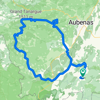
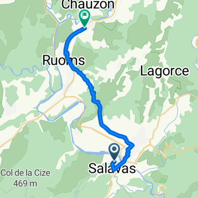
Ruoms - 6 augustus 2011
- 62.7 km
- 454 m
- 454 m
- Ruoms, Auvergne-Rhône-Alpes, France
A cycling route starting in Ruoms, Auvergne-Rhône-Alpes, France.
Overview
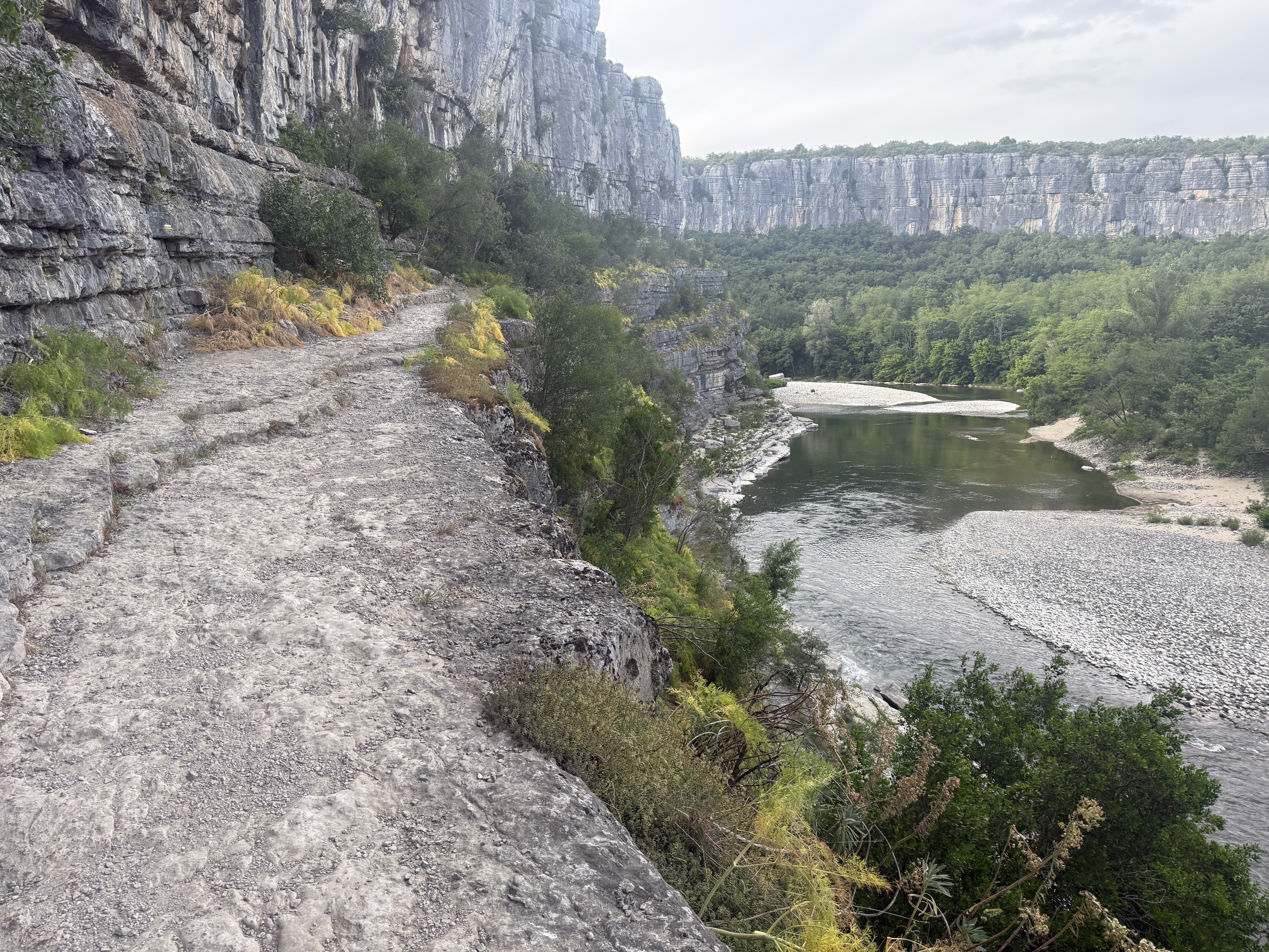
At Sampson, an extremely steep climb up to the chapel. After descending into the valley, follow the bike path (former railway line). Then before the camping shop turn right, later cross the river 'Le Chassezac' towards Chandolas. At 'Maisonneuve' turn left again back to the main road. Junction towards Bessas. Smaller road over the Col de la Serre. After the village turn left. Entire ride to Vagnas through splendid scenery. Remaining section on the main road.
created this 8 years ago


Route quality
Road
24.7 km
(52 %)
Quiet road
8.1 km
(17 %)
Paved
19 km
(40 %)
Unpaved
1 km
(2 %)
Asphalt
18.1 km
(38 %)
Paved (undefined)
1 km
(2 %)
Continue with Bikemap
You would like to ride Sampzon-Bessas dh or customize it for your own trip? Here is what you can do with this Bikemap route:
Free trial for 3 days, or one-time payment. More about Bikemap Premium.
Discover more Premium features.
Get Bikemap PremiumFrom our community
Open it in the app