

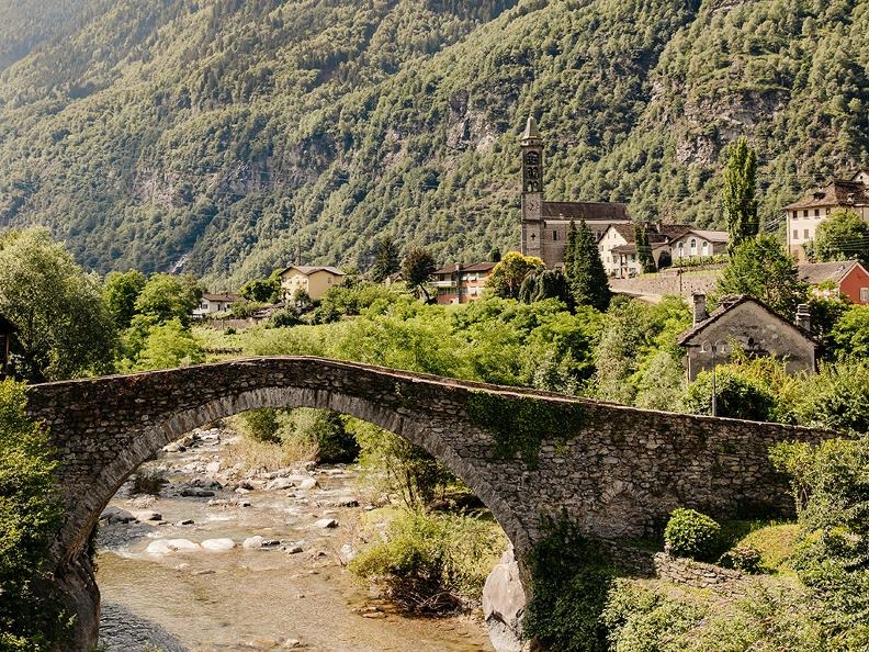
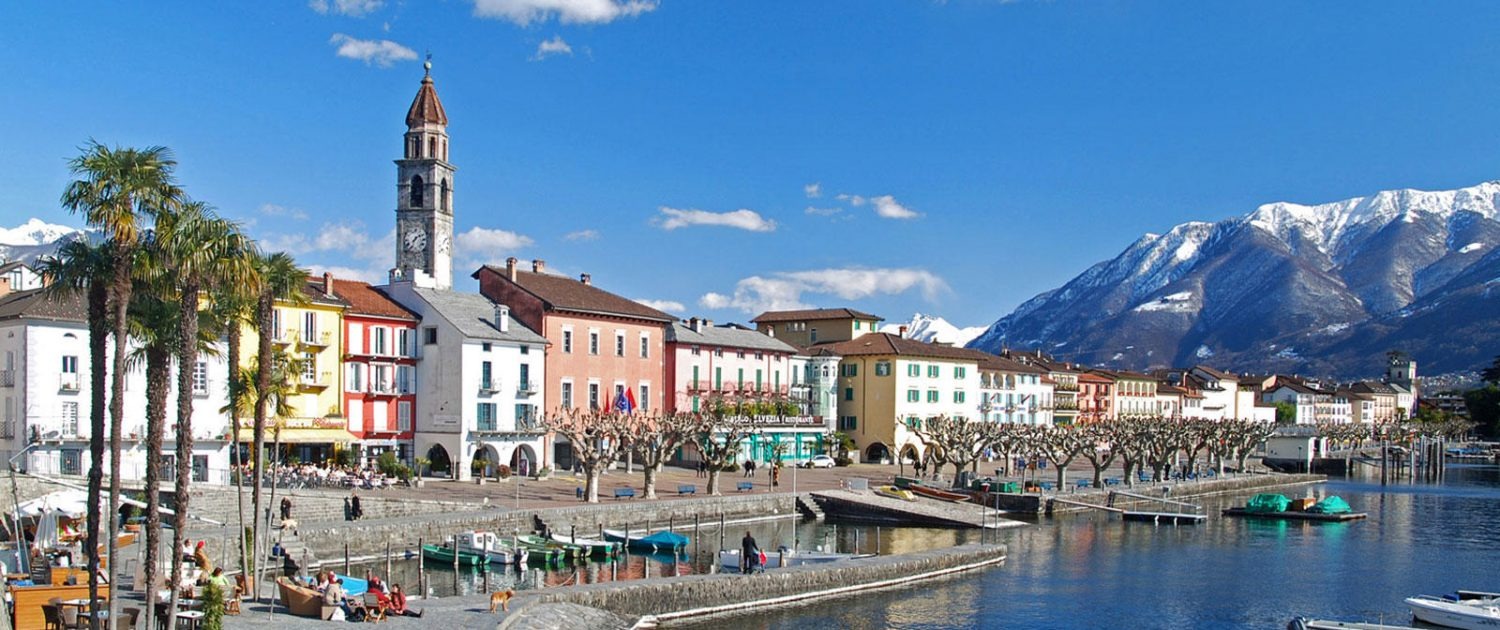
Locarno - Monte Brè
A cycling route starting in Locarno, Canton Ticino, Switzerland.
Overview
About this route
E-Bike
- -:--
- Duration
- 21.6 km
- Distance
- 836 m
- Ascent
- 836 m
- Descent
- ---
- Avg. speed
- ---
- Max. altitude

Continue with Bikemap
Use, edit, or download this cycling route
You would like to ride Locarno - Monte Brè or customize it for your own trip? Here is what you can do with this Bikemap route:
Free features
- Save this route as favorite or in collections
- Copy & plan your own version of this route
- Sync your route with Garmin or Wahoo
Premium features
Free trial for 3 days, or one-time payment. More about Bikemap Premium.
- Navigate this route on iOS & Android
- Export a GPX / KML file of this route
- Create your custom printout (try it for free)
- Download this route for offline navigation
Discover more Premium features.
Get Bikemap PremiumFrom our community
Other popular routes starting in Locarno
 Tessin Locarno klein
- Distance
- 71.9 km
- Ascent
- 907 m
- Descent
- 904 m
- Location
- Locarno, Canton Ticino, Switzerland
 Locarno 4
- Distance
- 80.9 km
- Ascent
- 1,274 m
- Descent
- 1,274 m
- Location
- Locarno, Canton Ticino, Switzerland
 Unnamed Road, Locarno nach Unnamed Road, Locarno
- Distance
- 36.7 km
- Ascent
- 186 m
- Descent
- 184 m
- Location
- Locarno, Canton Ticino, Switzerland
 From Locarno to Airolo
- Distance
- 86.4 km
- Ascent
- 1,852 m
- Descent
- 904 m
- Location
- Locarno, Canton Ticino, Switzerland
 Cardada
- Distance
- 29.4 km
- Ascent
- 1,329 m
- Descent
- 1,330 m
- Location
- Locarno, Canton Ticino, Switzerland
 Locarno - Domodossola - Locarno
- Distance
- 131.7 km
- Ascent
- 932 m
- Descent
- 932 m
- Location
- Locarno, Canton Ticino, Switzerland
 Locarno-Stresa
- Distance
- 55.9 km
- Ascent
- 392 m
- Descent
- 387 m
- Location
- Locarno, Canton Ticino, Switzerland
 Locarno - Alpe di Neggia loop
- Distance
- 86.8 km
- Ascent
- 3,359 m
- Descent
- 3,359 m
- Location
- Locarno, Canton Ticino, Switzerland
Open it in the app