kalwaria powrót
- 50.8 km
- 68 m
- 78 m
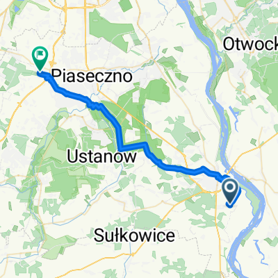
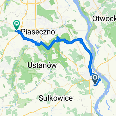
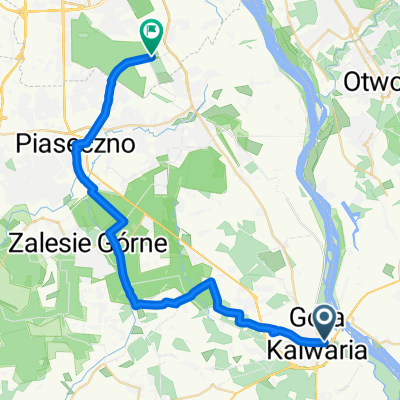
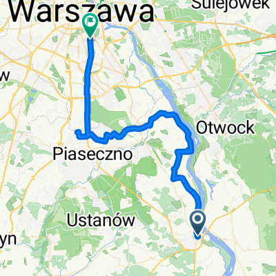
- Góra Kalwaria, Masovian Voivodeship, Poland
A cycling route starting in Góra Kalwaria, Masovian Voivodeship, Poland.
Overview
GÓRA KALWARIA (PKP station-79-50) – Ostrówek (680-799) – Łużyce (801) – Kępa Radwankowska – Nowy Zambrzyków – Celejów – Wilga (801) – Skurcza – Tarnów – Ruda Tarnowska – Bączki – Samogoszcz – Podłęż – Domaszew – Podoblin – Maciejowice – Uchacze – Pawłowice – Długowola – Stężyca – DĘBLIN (48-Jana Skotnickiego Street) – Kleszczówka – Bobrowniki – Niebrzegów – Jaworów – Las Jawor (17) – Chrząchówek – Brzozowa Gać – KURÓW (12) – Kalinówka – Markuszów – Przybysławice – Zagrody – Garbów – Bogucin – Panieńszczyzna – Barak – LUBLIN (Stadionowa Street-82) – LUBLIN (bank of the Bystrzyca)
created this 8 years ago
Route quality
Road
46.9 km
(31 %)
Quiet road
21.2 km
(14 %)
Paved
121.1 km
(80 %)
Unpaved
7.6 km
(5 %)
Asphalt
121.1 km
(80 %)
Ground
6.1 km
(4 %)
Route highlights
nocleg
Continue with Bikemap
You would like to ride Parczew 2017 dzień 1 or customize it for your own trip? Here is what you can do with this Bikemap route:
Free trial for 3 days, or one-time payment. More about Bikemap Premium.
Discover more Premium features.
Get Bikemap PremiumFrom our community
Open it in the app