

Etappe06: von El Ganso nach Sarria
A cycling route starting in Santa Colomba de Somoza, Castille and León, Spain.
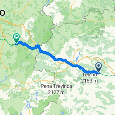
Overview
About this route
Autoetappe mit vielen Stationen: Cruz de Ferro, Ponferrada, Villafranca, Cebreiro, Triacastela, Samos
- -:--
- Duration
- 138.7 km
- Distance
- 1,510 m
- Ascent
- 2,103 m
- Descent
- ---
- Avg. speed
- ---
- Max. altitude

Route quality
Waytypes & surfaces along the route
Waytypes
Busy road
92.7 km
(67 %)
Cycleway
24.1 km
(17 %)
Surfaces
Paved
90.3 km
(65 %)
Unpaved
1.4 km
(1 %)
Asphalt
90.2 km
(65 %)
Ground
1 km
(<1 %)
Continue with Bikemap
Use, edit, or download this cycling route
You would like to ride Etappe06: von El Ganso nach Sarria or customize it for your own trip? Here is what you can do with this Bikemap route:
Free features
- Save this route as favorite or in collections
- Copy & plan your own version of this route
- Split it into stages to create a multi-day tour
- Sync your route with Garmin or Wahoo
Premium features
Free trial for 3 days, or one-time payment. More about Bikemap Premium.
- Navigate this route on iOS & Android
- Export a GPX / KML file of this route
- Create your custom printout (try it for free)
- Download this route for offline navigation
Discover more Premium features.
Get Bikemap PremiumFrom our community
Other popular routes starting in Santa Colomba de Somoza
 Foncebadon- Matavenero- Poibueno- Matavenero- Foncebadon
- Distance
- 20.7 km
- Ascent
- 672 m
- Descent
- 677 m
- Location
- Santa Colomba de Somoza, Castille and León, Spain
 2016 Santiago: 7. dan (Rabanal - Vega de Valcarce)
- Distance
- 75.2 km
- Ascent
- 847 m
- Descent
- 1,302 m
- Location
- Santa Colomba de Somoza, Castille and León, Spain
 RW 2014 dzień 7
- Distance
- 115.2 km
- Ascent
- 1,379 m
- Descent
- 1,929 m
- Location
- Santa Colomba de Somoza, Castille and León, Spain
 CaminoSantiago Rabanal del Camino-Ruitelan
- Distance
- 79.9 km
- Ascent
- 761 m
- Descent
- 1,237 m
- Location
- Santa Colomba de Somoza, Castille and León, Spain
 2006 - Auf dem Jakobsweg - 11. Tag - Rabanal del Camino - Villafranca del Bierzo
- Distance
- 57.1 km
- Ascent
- 793 m
- Descent
- 1,432 m
- Location
- Santa Colomba de Somoza, Castille and León, Spain
 Jakobsweg 8. 1.9.05 Villafranca del Bierzo
- Distance
- 60 km
- Ascent
- 756 m
- Descent
- 1,384 m
- Location
- Santa Colomba de Somoza, Castille and León, Spain
 2011 Santiago: 7. dan (Rabanal - Vega de Valcarce)
- Distance
- 75.9 km
- Ascent
- 798 m
- Descent
- 1,316 m
- Location
- Santa Colomba de Somoza, Castille and León, Spain
 Etappe06: von El Ganso nach Sarria
- Distance
- 138.7 km
- Ascent
- 1,510 m
- Descent
- 2,103 m
- Location
- Santa Colomba de Somoza, Castille and León, Spain
Open it in the app