
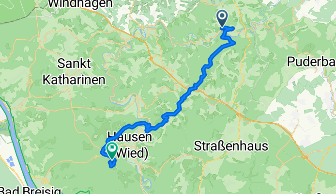

Gasbitze - Niederbreitbach - Skihütte Malberg
- 23.9 km
- 577 m
- 460 m
- Oberlahr, Rhineland-Palatinate, Germany
A cycling route starting in Oberlahr, Rhineland-Palatinate, Germany.
Overview
created this 8 years ago
Route quality
Track
10.3 km
(43 %)
Quiet road
7.2 km
(30 %)
Paved
4.8 km
(20 %)
Unpaved
9.5 km
(40 %)
Asphalt
4.5 km
(19 %)
Gravel
4.1 km
(17 %)
Route highlights
Malberg Anstieg
Continue with Bikemap
You would like to ride Gasbitze - Niederbreitbach - Skihütte Malberg or customize it for your own trip? Here is what you can do with this Bikemap route:
Free trial for 3 days, or one-time payment. More about Bikemap Premium.
Discover more Premium features.
Get Bikemap PremiumFrom our community
Open it in the app


