
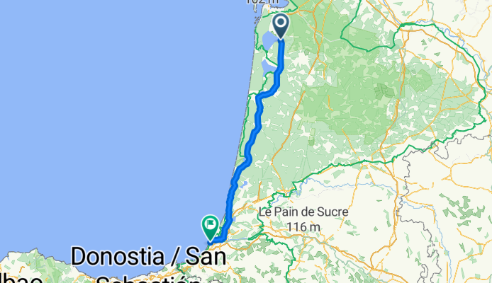
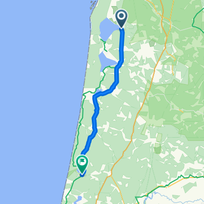
6 Sanguinet to Biarritz
A cycling route starting in Sanguinet, Nouvelle-Aquitaine, France.
Overview
About this route
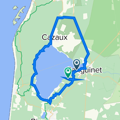
At Sanguinet D46 (Avenue De Born) to Parentis-en Born then D652/D46 Esleys (Av de Parentis) to Pontenx-les-Forges join D626 (Av de Mimizan to saint-Paul-en Born to Mimizan. join D652 (Route de Baleste) via Salin to Bias continue to Le Clisson to Lit -et-Mixe D652 to Saint Girons D652 to Leon continue on D652 via Moliets-et-Maa to Messanges join D79 to Les Estagnots D79/D652 to Capbreton then Labenne join D810 to Ondres/Tarnos/Boucau To Bayonne (Av Henri Grenet) D5 (Bd du A.B) to D260 continue onBd du B.A.B t then D5 (Bd de la Mer) to Av de L'imperatrice next to D911 Avenue de Vercun)
- -:--
- Duration
- 142.3 km
- Distance
- 354 m
- Ascent
- 362 m
- Descent
- ---
- Avg. speed
- 54 m
- Max. altitude
Route quality
Waytypes & surfaces along the route
Waytypes
Quiet road
18.5 km
(13 %)
Cycleway
15.7 km
(11 %)
Surfaces
Paved
118.1 km
(83 %)
Asphalt
118.1 km
(83 %)
Undefined
24.2 km
(17 %)
Continue with Bikemap
Use, edit, or download this cycling route
You would like to ride 6 Sanguinet to Biarritz or customize it for your own trip? Here is what you can do with this Bikemap route:
Free features
- Save this route as favorite or in collections
- Copy & plan your own version of this route
- Split it into stages to create a multi-day tour
- Sync your route with Garmin or Wahoo
Premium features
Free trial for 3 days, or one-time payment. More about Bikemap Premium.
- Navigate this route on iOS & Android
- Export a GPX / KML file of this route
- Create your custom printout (try it for free)
- Download this route for offline navigation
Discover more Premium features.
Get Bikemap PremiumFrom our community
Other popular routes starting in Sanguinet
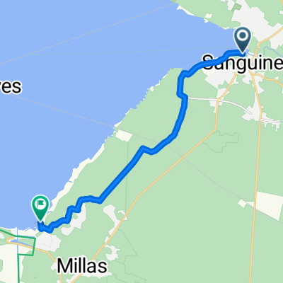
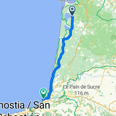
 1998 - Connection francaise - 1. Tag - Sanguinet - Léon
- Distance
- 79 km
- Ascent
- 177 m
- Descent
- 179 m
- Location
- Sanguinet, Nouvelle-Aquitaine, France
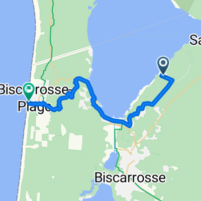
 Itinéraire modéré en Biscarrosse
- Distance
- 11.5 km
- Ascent
- 53 m
- Descent
- 74 m
- Location
- Sanguinet, Nouvelle-Aquitaine, France
 Itinéraire à partir de Route de la Rive, Biscarrosse
- Distance
- 19.5 km
- Ascent
- 122 m
- Descent
- 137 m
- Location
- Sanguinet, Nouvelle-Aquitaine, France
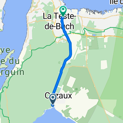
 Itinéraire à partir de Allée Marie Dufaure Cazaux, La Teste-de-Buch
- Distance
- 10.1 km
- Ascent
- 264 m
- Descent
- 271 m
- Location
- Sanguinet, Nouvelle-Aquitaine, France
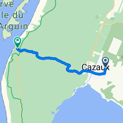
 Cazaux zum Bahnhof Teste de Buch
- Distance
- 13.1 km
- Ascent
- 23 m
- Descent
- 47 m
- Location
- Sanguinet, Nouvelle-Aquitaine, France
 Itinéraire à partir de Rue Guynemer Cazaux, La Teste-de-Buch
- Distance
- 3 km
- Ascent
- 53 m
- Descent
- 59 m
- Location
- Sanguinet, Nouvelle-Aquitaine, France
 6 Sanguinet to Biarritz
- Distance
- 142.3 km
- Ascent
- 354 m
- Descent
- 362 m
- Location
- Sanguinet, Nouvelle-Aquitaine, France
 Lac Sanguinet
- Distance
- 60.9 km
- Ascent
- 101 m
- Descent
- 95 m
- Location
- Sanguinet, Nouvelle-Aquitaine, France
Open it in the app