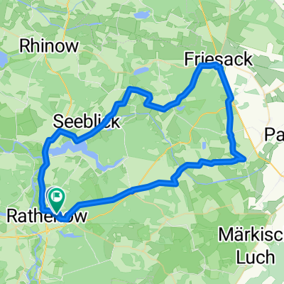
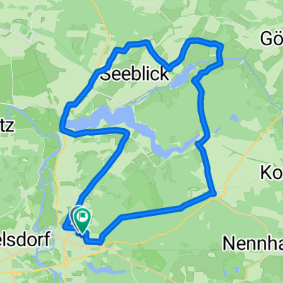
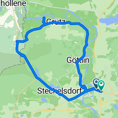
Sechs Seen Tour
- 64.7 km
- 92 m
- 92 m
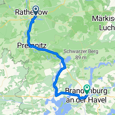
- Rathenow, Brandenburg, Germany
A cycling route starting in Rathenow, Brandenburg, Germany.
Overview
The cycling team Rathenow`91 invites all cycling enthusiasts to a joint tour for the season finale
created this 8 years ago
Route quality
Path
14.3 km
(23 %)
Road
12.4 km
(20 %)
Paved
52.1 km
(84 %)
Asphalt
49.6 km
(80 %)
Paved (undefined)
1.9 km
(3 %)
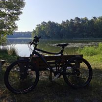
Route highlights
Mittagesse
Ende der Tour
Continue with Bikemap
You would like to ride Abradeln 2017 or customize it for your own trip? Here is what you can do with this Bikemap route:
Free trial for 3 days, or one-time payment. More about Bikemap Premium.
Discover more Premium features.
Get Bikemap PremiumFrom our community
Open it in the app