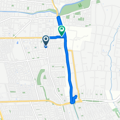
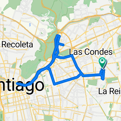
Ruta El Toyo G25 regreso Ruta El Volcán G27
A cycling route starting in Villa Presidente Frei, Ñuñoa, Santiago, Chile, Santiago Metropolitan, Chile.
Overview
About this route
Ruta exigente pero bien, desbloqueada 3 veces. 23092017.
- -:--
- Duration
- 85.4 km
- Distance
- 462 m
- Ascent
- 462 m
- Descent
- ---
- Avg. speed
- ---
- Avg. speed
Route quality
Waytypes & surfaces along the route
Waytypes
Busy road
48 km
(56 %)
Quiet road
16.8 km
(20 %)
Surfaces
Paved
76.6 km
(90 %)
Unpaved
0.7 km
(<1 %)
Asphalt
39.9 km
(47 %)
Concrete
22 km
(26 %)
Continue with Bikemap
Use, edit, or download this cycling route
You would like to ride Ruta El Toyo G25 regreso Ruta El Volcán G27 or customize it for your own trip? Here is what you can do with this Bikemap route:
Free features
- Save this route as favorite or in collections
- Copy & plan your own version of this route
- Sync your route with Garmin or Wahoo
Premium features
Free trial for 3 days, or one-time payment. More about Bikemap Premium.
- Navigate this route on iOS & Android
- Export a GPX / KML file of this route
- Create your custom printout (try it for free)
- Download this route for offline navigation
Discover more Premium features.
Get Bikemap PremiumFrom our community
Other popular routes starting in Villa Presidente Frei
- De Alcántara 142, Las Condes a Alcántara 82, Las Condes
- Distance
- 19.8 km
- Ascent
- 232 m
- Descent
- 258 m
- Location
- Villa Presidente Frei, Ñuñoa, Santiago, Chile, Santiago Metropolitan, Chile
- Rojas Magallanes - Sendero de Chile - 6 Pendientes - Chivato - Gasdoducto
- Distance
- 65.8 km
- Ascent
- 1,331 m
- Descent
- 1,337 m
- Location
- Villa Presidente Frei, Ñuñoa, Santiago, Chile, Santiago Metropolitan, Chile
- Avenida Departamental, La Florida to GerĂłnimo de Alderete, La Florida
- Distance
- 4 km
- Ascent
- 43 m
- Descent
- 18 m
- Location
- Villa Presidente Frei, Ñuñoa, Santiago, Chile, Santiago Metropolitan, Chile
- via roja
- Distance
- 12.6 km
- Ascent
- 624 m
- Descent
- 55 m
- Location
- Villa Presidente Frei, Ñuñoa, Santiago, Chile, Santiago Metropolitan, Chile
- De Avenida San JosemarĂa Escrivá de Balaguer 6420, Vitacura a Diego de Almagro 3205, Providencia
- Distance
- 10.4 km
- Ascent
- 138 m
- Descent
- 123 m
- Location
- Villa Presidente Frei, Ñuñoa, Santiago, Chile, Santiago Metropolitan, Chile
- Terpel-Farellones
- Distance
- 31.2 km
- Ascent
- 1,479 m
- Descent
- 396 m
- Location
- Villa Presidente Frei, Ñuñoa, Santiago, Chile, Santiago Metropolitan, Chile
- templo bahai a mi casa
- Distance
- 35.5 km
- Ascent
- 174 m
- Descent
- 406 m
- Location
- Villa Presidente Frei, Ñuñoa, Santiago, Chile, Santiago Metropolitan, Chile
- Copa Alpes, Julio 2010
- Distance
- 4.5 km
- Ascent
- 188 m
- Descent
- 186 m
- Location
- Villa Presidente Frei, Ñuñoa, Santiago, Chile, Santiago Metropolitan, Chile
Open it in the app