

Hausrunde Tecklenburg
A cycling route starting in Tecklenburg, North Rhine-Westphalia, Germany.
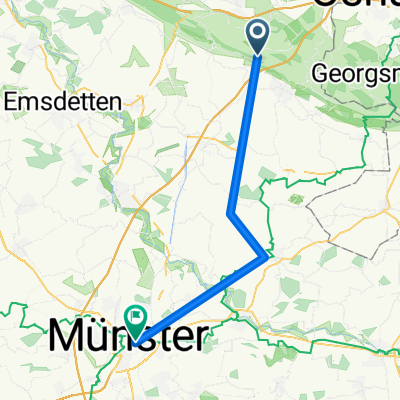
Overview
About this route
Parking entrance Tecklenburg
Tecklenburg climb 70hm, 1.2km, 5.9%, max 9%
Branden Berg climb, 75hm, 1.2km, 6.3%, max 11%
Jäger Berg climb, 76hm, 1.7km, 4.5%, max 8%
Heidorn Berg climb 75hm, 1.5km, 5% max. 9%
Aldruper Berg climb 109hm, 2.3km 4.7 max 8%
Klee Berg climb 50hm, 0.5km, 10% max. 12%
Klee Berg climb 64hm, 0.5km, 13% max 16%
As an extra, one can ride up the Dören Berg (climb 112hm, 1.7km, 6.5% max 9%)
- -:--
- Duration
- 68.8 km
- Distance
- 837 m
- Ascent
- 833 m
- Descent
- ---
- Avg. speed
- ---
- Max. altitude

Route quality
Waytypes & surfaces along the route
Waytypes
Quiet road
34.4 km
(50 %)
Road
8.9 km
(13 %)
Surfaces
Paved
40.6 km
(59 %)
Unpaved
1.4 km
(2 %)
Asphalt
40.6 km
(59 %)
Gravel
0.7 km
(1 %)
Route highlights
Points of interest along the route
Point of interest after 2.1 km
Tecklenburg max 9%
Point of interest after 8.9 km
Branden Berg Anstieg 75hm, Länge 1,2km, 6,3%, max11%
Point of interest after 19.9 km
3. Jäger Berg Anstieg 76hm, Länge 1,7km, 4,5%, max 8%
Point of interest after 29.1 km
Heidorn Berg 1,5km 5% max 9%
Point of interest after 32.6 km
Dören Berg Anstieg 112hm, 1,7km, 6,5% max 9%
Point of interest after 46.9 km
Malepartus AlmHütte am Hermannsweg
Point of interest after 48.1 km
Aldruper Berg Anstieg 109hm, 2,3km 4,7 max8%
Point of interest after 62.4 km
Klee Berg 0,5km 10% max 12%
Point of interest after 63.9 km
Klee Berg 0,5km 13% max 16%
Continue with Bikemap
Use, edit, or download this cycling route
You would like to ride Hausrunde Tecklenburg or customize it for your own trip? Here is what you can do with this Bikemap route:
Free features
- Save this route as favorite or in collections
- Copy & plan your own version of this route
- Sync your route with Garmin or Wahoo
Premium features
Free trial for 3 days, or one-time payment. More about Bikemap Premium.
- Navigate this route on iOS & Android
- Export a GPX / KML file of this route
- Create your custom printout (try it for free)
- Download this route for offline navigation
Discover more Premium features.
Get Bikemap PremiumFrom our community
Other popular routes starting in Tecklenburg
 Servatiiplatz nach Pagenstraße
- Distance
- 37.3 km
- Ascent
- 13 m
- Descent
- 128 m
- Location
- Tecklenburg, North Rhine-Westphalia, Germany
 TecklenburgTest
- Distance
- 70.1 km
- Ascent
- 757 m
- Descent
- 757 m
- Location
- Tecklenburg, North Rhine-Westphalia, Germany
 MTB Tecklenburg Habitat
- Distance
- 17.5 km
- Ascent
- 329 m
- Descent
- 329 m
- Location
- Tecklenburg, North Rhine-Westphalia, Germany
 Tour 2010Tag 2
- Distance
- 45.7 km
- Ascent
- 128 m
- Descent
- 146 m
- Location
- Tecklenburg, North Rhine-Westphalia, Germany
 Teuto + Malepartus
- Distance
- 62.5 km
- Ascent
- 697 m
- Descent
- 700 m
- Location
- Tecklenburg, North Rhine-Westphalia, Germany
 Teuto 3
- Distance
- 81.1 km
- Ascent
- 1,019 m
- Descent
- 1,019 m
- Location
- Tecklenburg, North Rhine-Westphalia, Germany
 Trainingsroute 1
- Distance
- 109.1 km
- Ascent
- 901 m
- Descent
- 896 m
- Location
- Tecklenburg, North Rhine-Westphalia, Germany
 Ausflug Tecklenburg
- Distance
- 59.4 km
- Ascent
- 620 m
- Descent
- 620 m
- Location
- Tecklenburg, North Rhine-Westphalia, Germany
Open it in the app